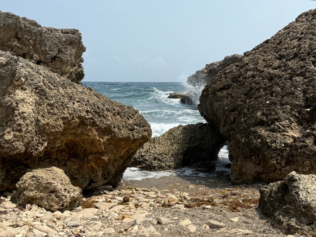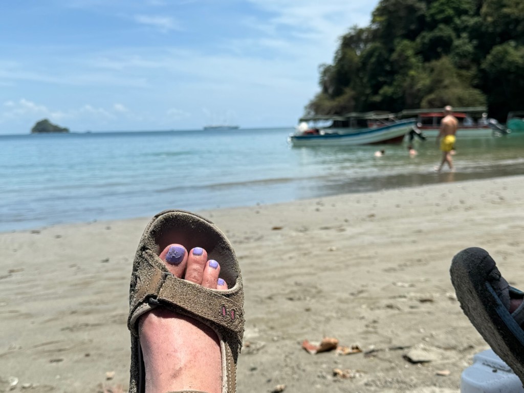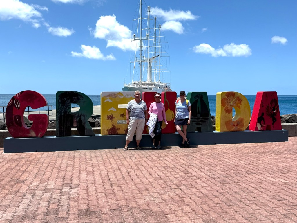
The first stop on my cruise two years ago was Grenada, and today we visited it again. Last time I did a snorkeling excursion to see underwater statues but I decided to do something a little different this time. More on that later.
First of all, let me remind you of some history.
Historically, the French and the English fought over the islands with the English eventually winning out. They brought slaves to the island from Africa to work the land and grow spices and indigo until they were emancipated in 1833. Now the majority of spices are grown in small independently owned plots on substantially sloped hills throughout the island. The islands eventually became part of the British commonwealth gaining their independence in 1974.
Now is possibly time for a reminder that my information is sourced in various ways, and can not at all be considered totally accurate. I try and find legitimate sources but some of the stories told by guides are so much more fun and interesting that I can’t help but include them. There is no question some are exaggerated.
Cuba got quite involved in the island during one particular socialist government and they even built a huge General Hospital for the people of Grenada. According to Wikipedia, there was a military coup in 1983 and the US came in to help re-establish democracy which led to the house arrest and execution of the previous leader and Prime Minister of Grenada. General elections were held in December of 1984.
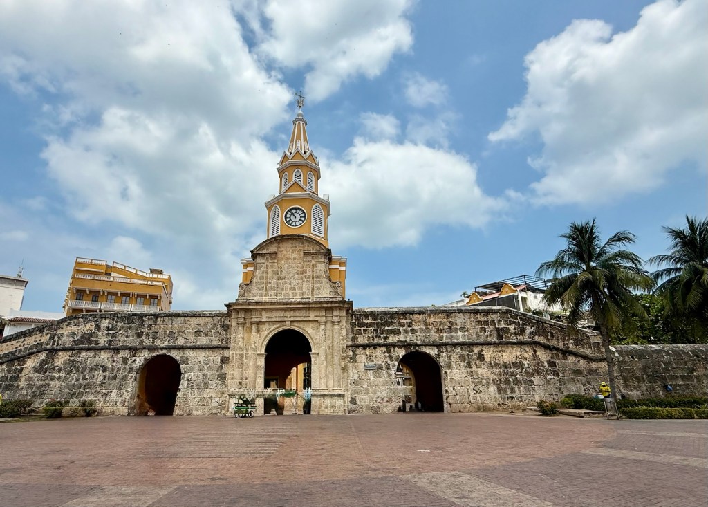
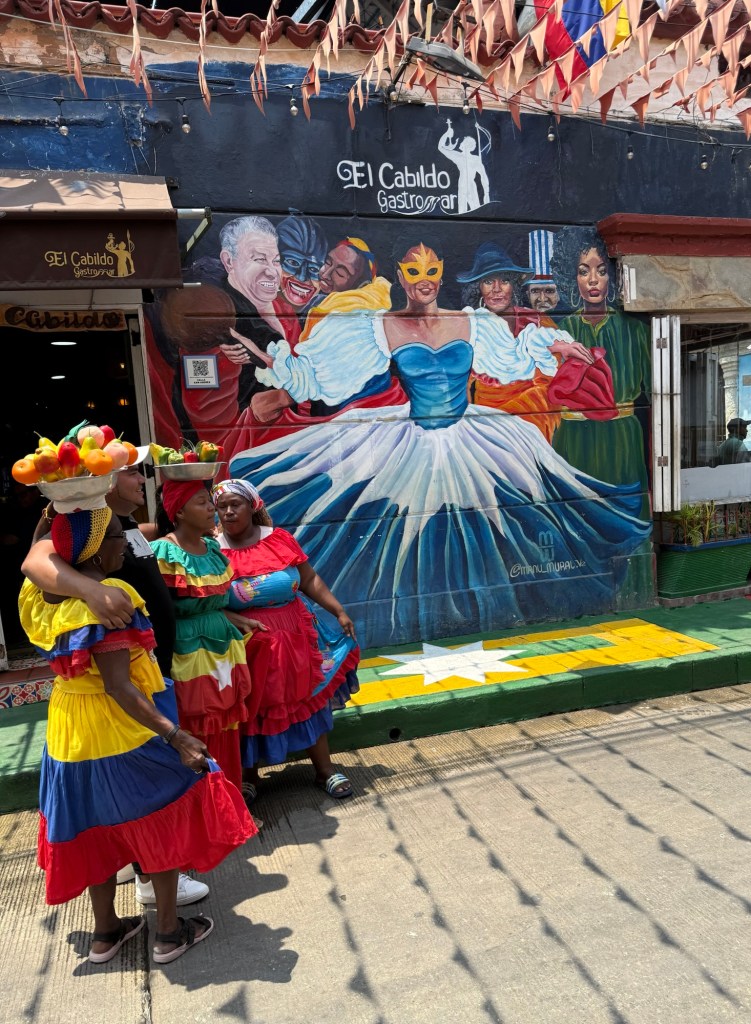
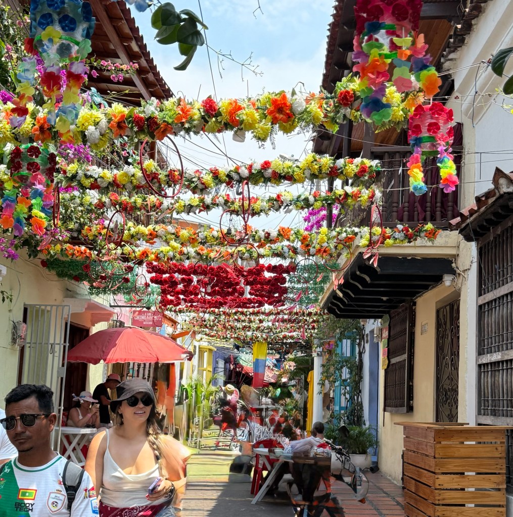
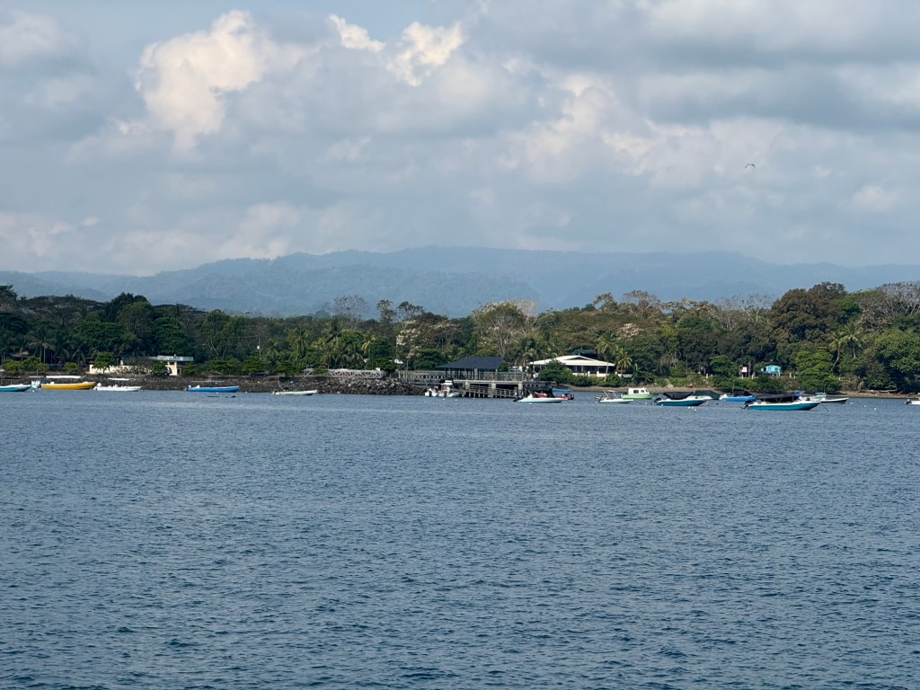
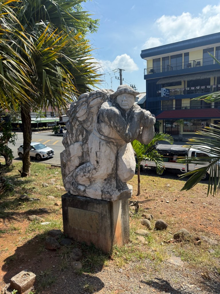
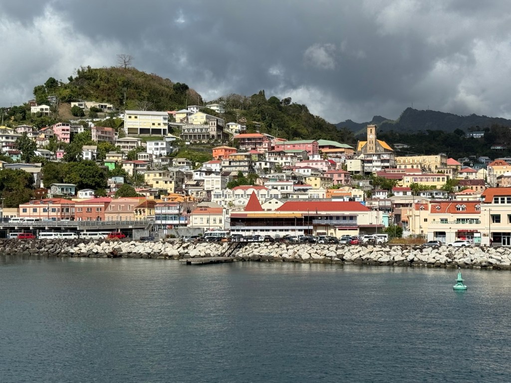
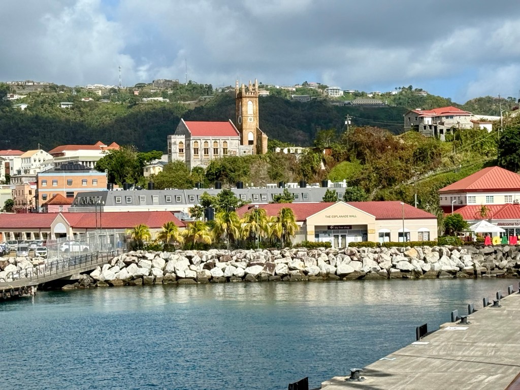
Grenada is nicknamed the Spice Island because of all the spices found and grown commercially here. The spice market is a treat for the senses with the colourful dress and aromas of spices hanging in the air. It’s also somewhat chaotic in the “downtown” St. George’s area. Lots of traffic, no where to park, and poor traffic police trying to make sense of it all. St George’s is on the south west coast of the island at the entrance to a great natural harbour.
The spice Grenada is most famous for is nutmeg, but others found here include turmeric, cinnamon, all spice, ginger, cloves, and bay leaves. There are also all 3 types of the cocoa found in the world on this one island.
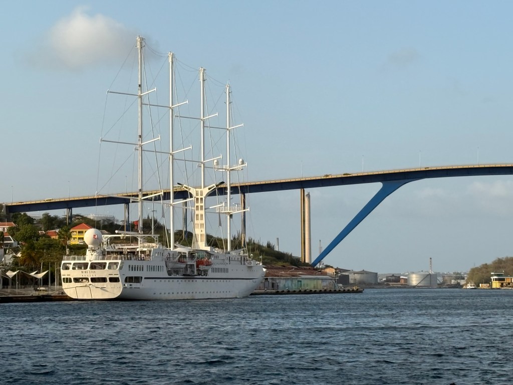
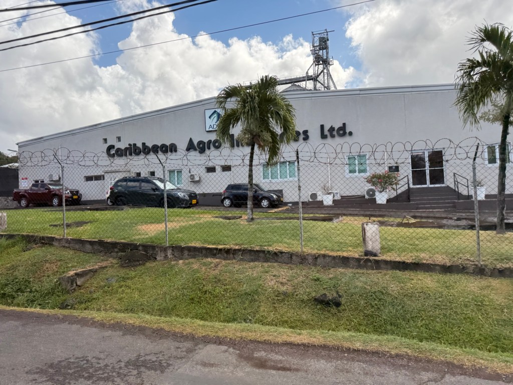
Its primary industries are agriculture and tourism, and fishing is becoming more significant. There are many larger fishing boats tied up along side the sidewalk along the Main Street on the natural harbour side in St George’s.
Our adventure for today, was river tubing on the Balthazar River! The starting point was high in the hills in the centre of the island. I had walked through the downtown area of St George’s last visit but it was great to see some of the rest of the island as we travelled by van to get to the launching spot for our adventure.
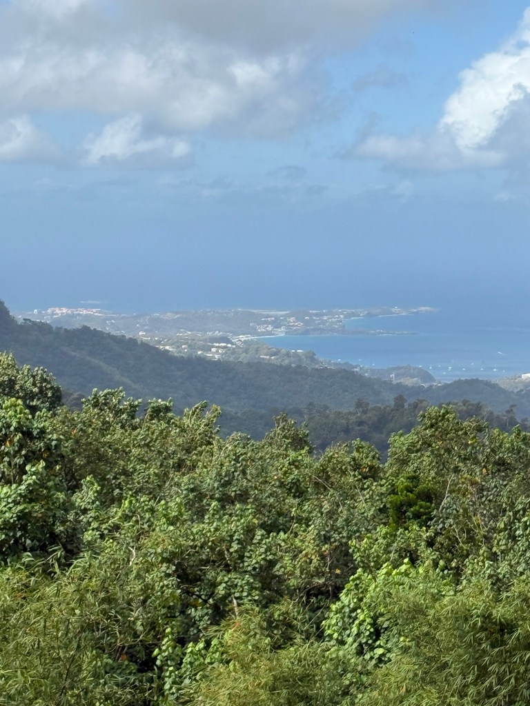
The expert van driver took us up, up winding, narrow roads, honking as he passed each vehicle which as he explained is just saying hello to the other drivers who he knows. We stopped at a lookout to get a sense of how high we’d come and had a great view back to the downtown and port area. He pointed out many of the trees bearing the spices for which the island is famous. We entered the Grand Etang National Park and through the centre of the island to get to the headquarters of the river tubing company.
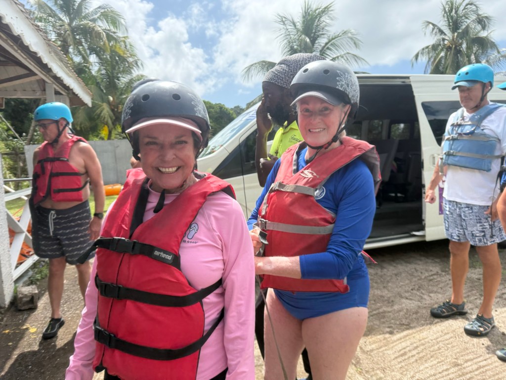
After being given helmets and life jackets and a briefing on how to sit in the tube and where to put your feet, etc, we were ready to go. There were about 20 cruise ship passengers on the adventure and 7 or 8 strong lads to help. At the bottom of some steps leading down to the river, we each eased into the tube, some more graceful than others (I’ll leave it to your imagination to determine which camp I was in) and were sent on our way down stream.
The river level was low because of not much rain, so conditions were not ideal, but we managed to have lots of fun anyway. The strong lads spread out along the group and kept everyone on track. At times we bogged down on rocks or spun into areas where the current kept us from entering the next rapids, and they came along and pulled or pushed us into the right position. We also got better at using our legs to lift up our butts, pushing off rocks with our feet or hands or jiggling ourselves free to get over the shallow areas. As the leader said we would, we got our six pack exercise today for sure.
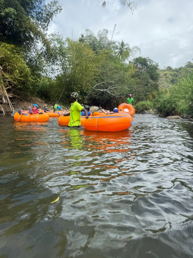
There were lots of spots where the water was higher, there was a narrow channel and we got spinning around going through that section at a good speed giving us quite the thrill. I was laughing out loud much of the way. I took my phone with me, but was only brave enough to take my hands off the handles a couple of times to take pictures. The guys did their best to entertain us and make sure we had a good time, but I sure felt sorry for them having to haul my sorry ass across rocks a couple of times. Overall, it was a fun experience and one of the times I’m glad that I work out and could manage the physicality of the adventure.
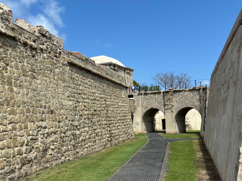
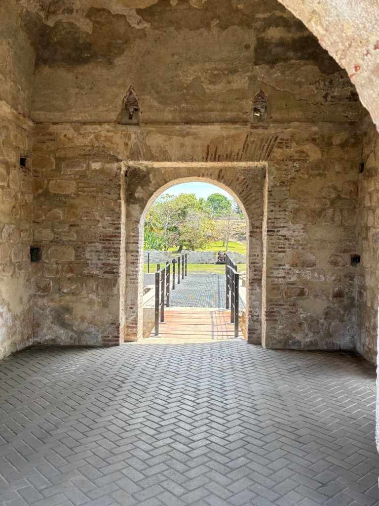
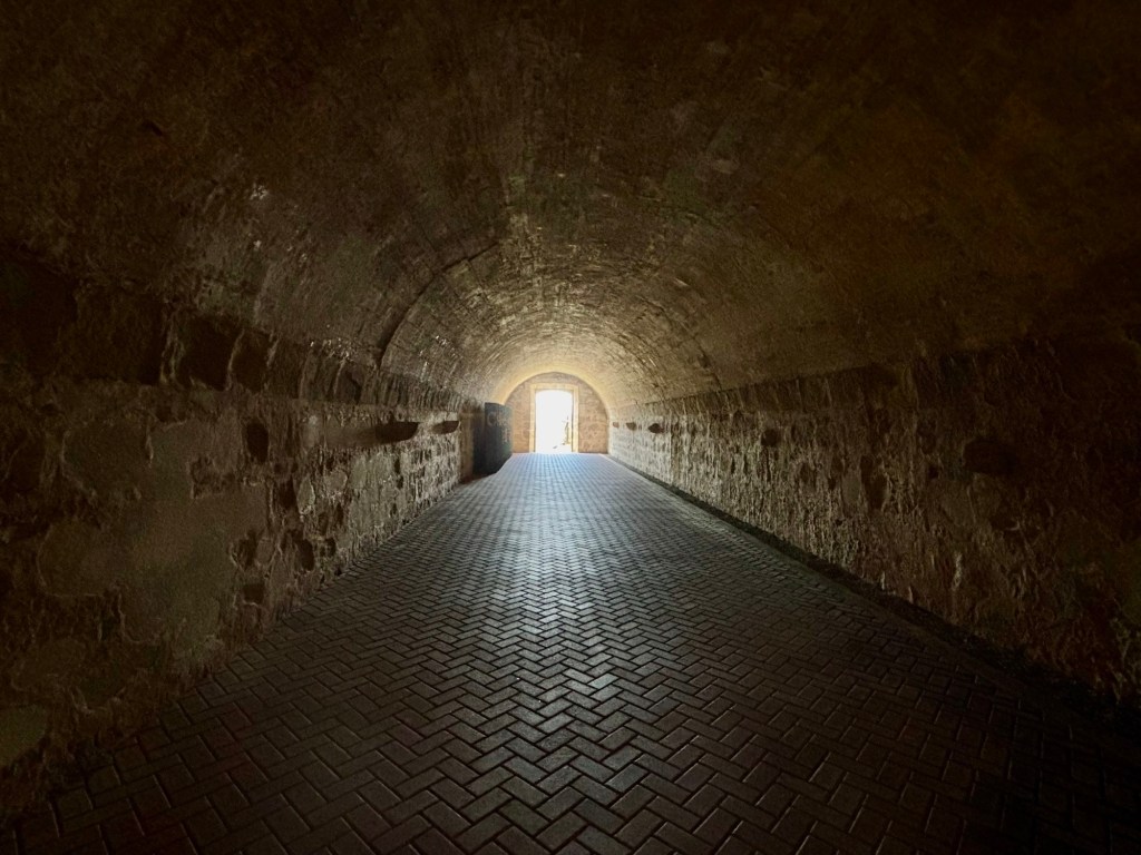
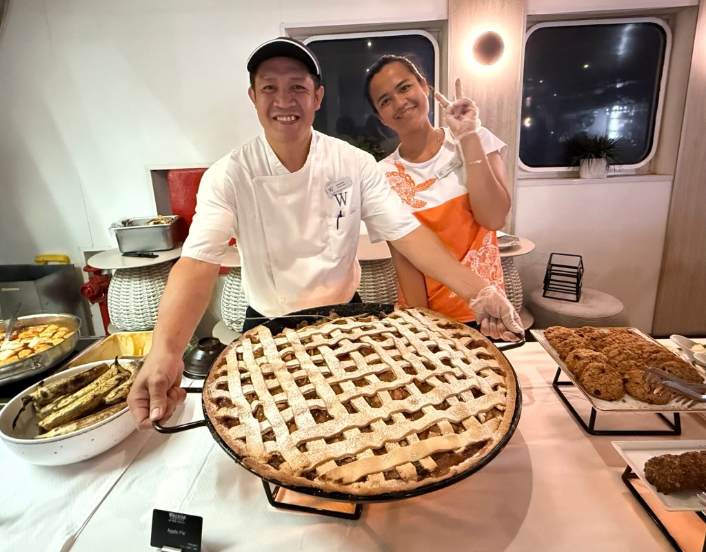
We came back to the ship and got cleaned up and had some lunch. One mustn’t miss a meal, after all. Then we headed out to walk around town a little. We ventured in to the port area, getting to it through a narrow one-way car and two way pedestrian tunnel that cuts under one of the hills on the edge of downtown. The near side of the port was very commercial, with lots of fishing boats tied up by this point in the day. So our walk was short lived.
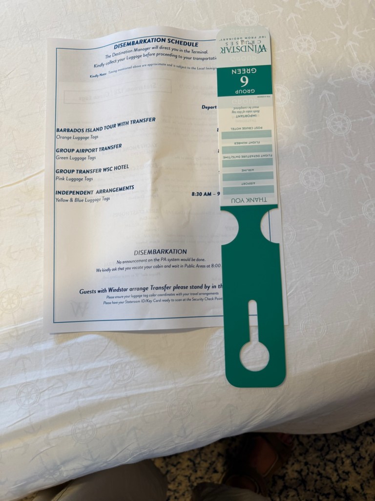
While we were at dinner, the information and luggage tags for disembarkation were delivered to our cabins. Always a sad sign but starts the mental process for re-entry. One more day and two nights on the ship and vacation 2025 will be done.