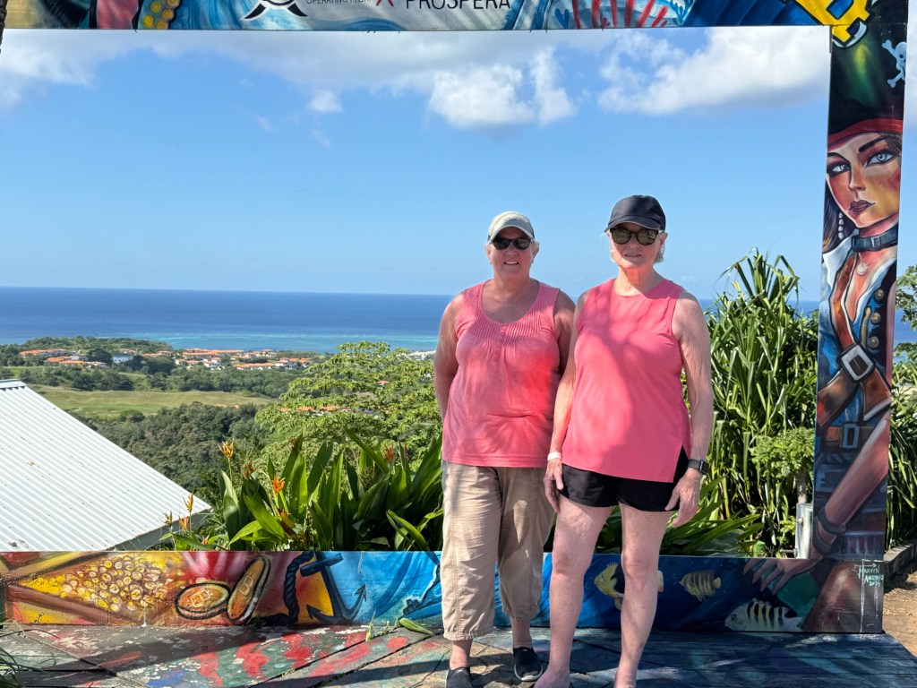
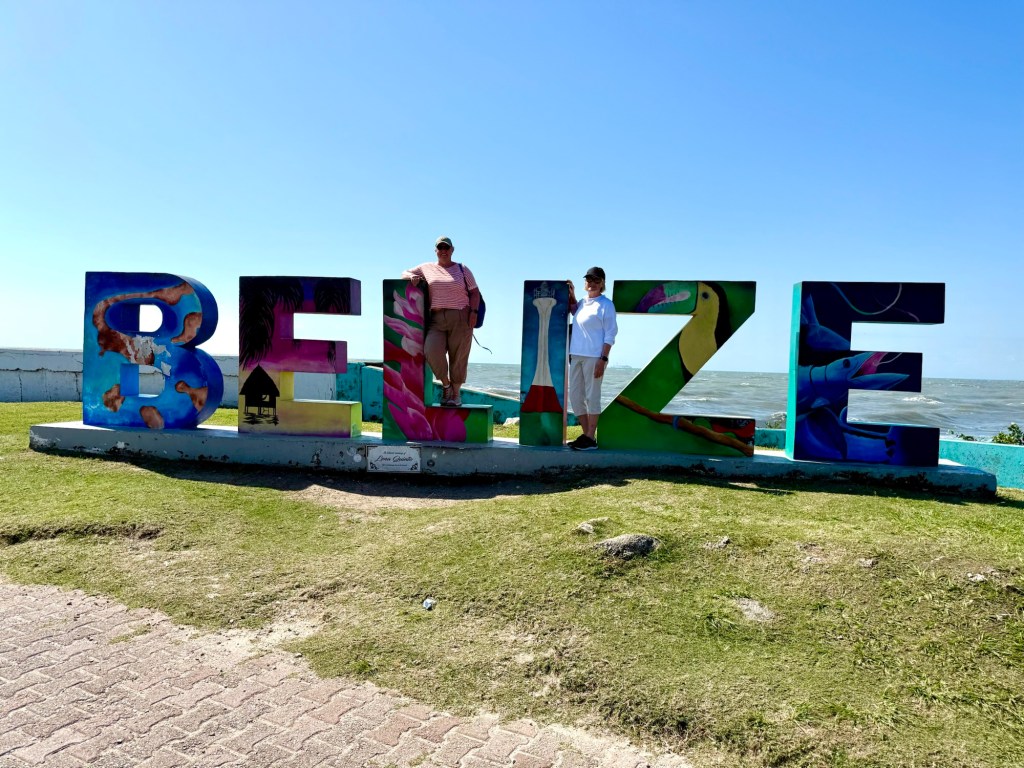
The last time I was in Belize was in 2002, and that time we arrived into Belize City via the international airport and immediately got on a little commuter plane and headed to the small town of San Pedro on Ambergris Caye, an island off the coast of Belize. It was a lovely, relaxing vacation at a small resort right on the Caribbean called the Blue Tang Inn. There were no vehicles on the island aside from one van for transporting luggage and a few golf carts for getting around. The streets were mainly sand, and shoes weren’t necessary even in restaurants in San Pedro. “No shirts, No shoes, No Problem!”
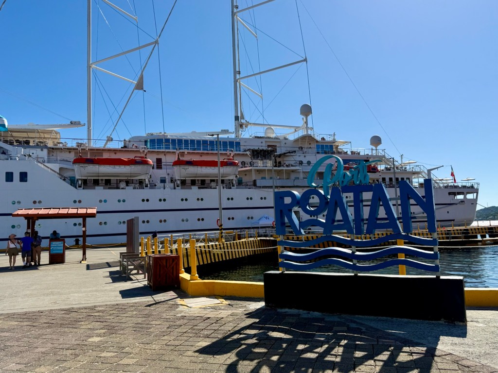
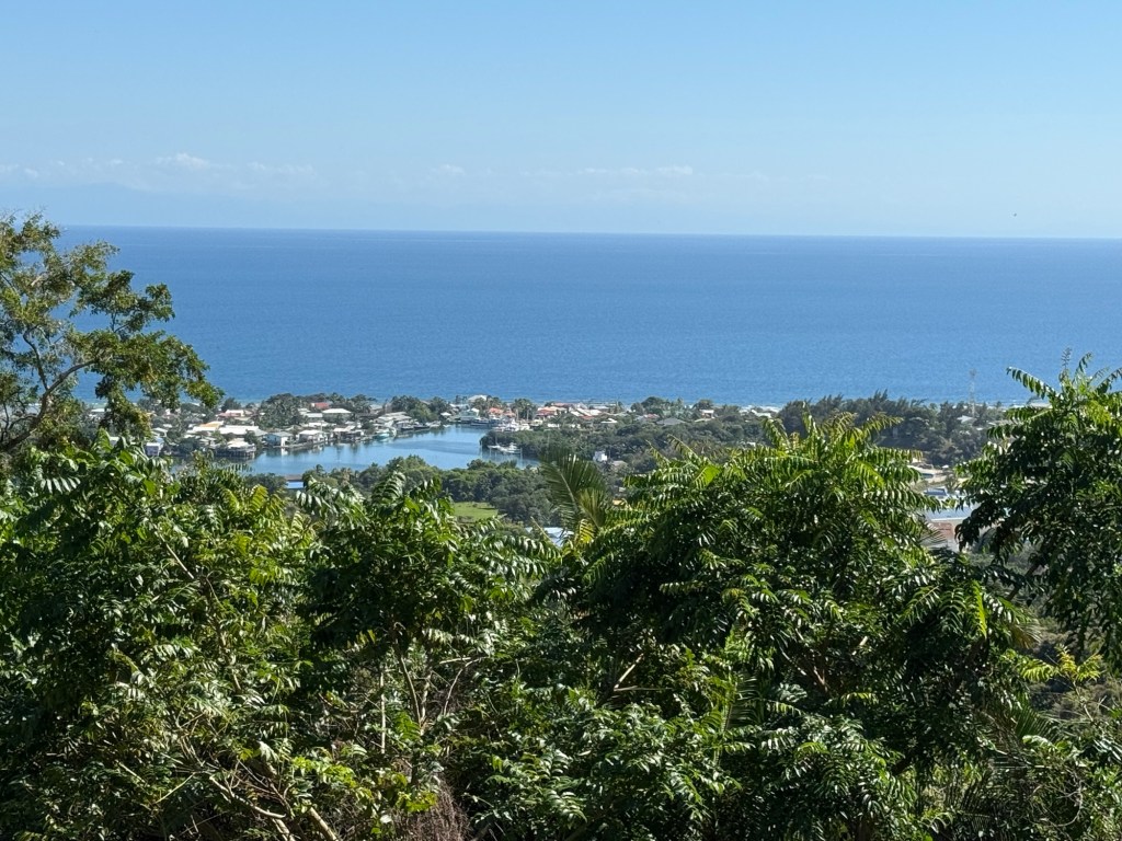
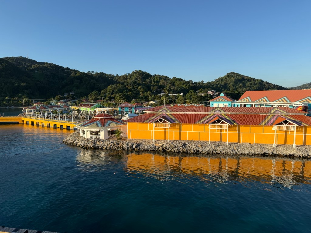
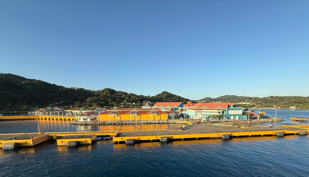
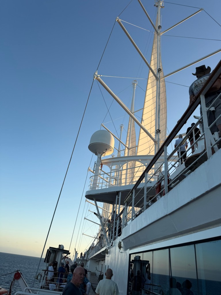
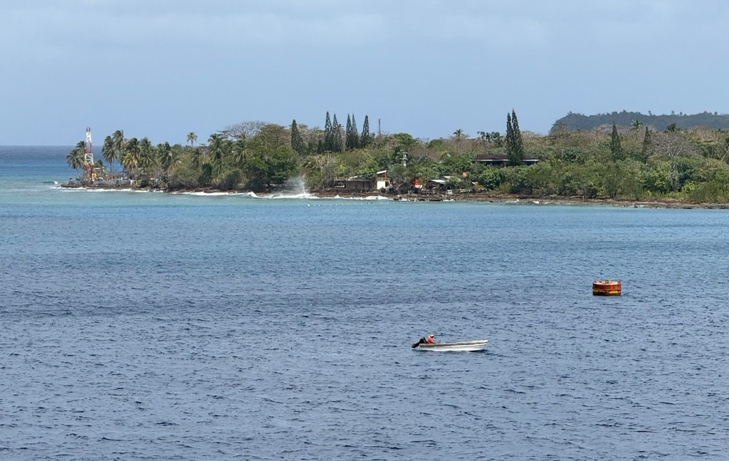
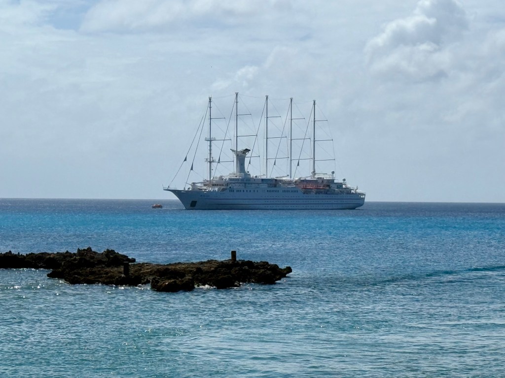
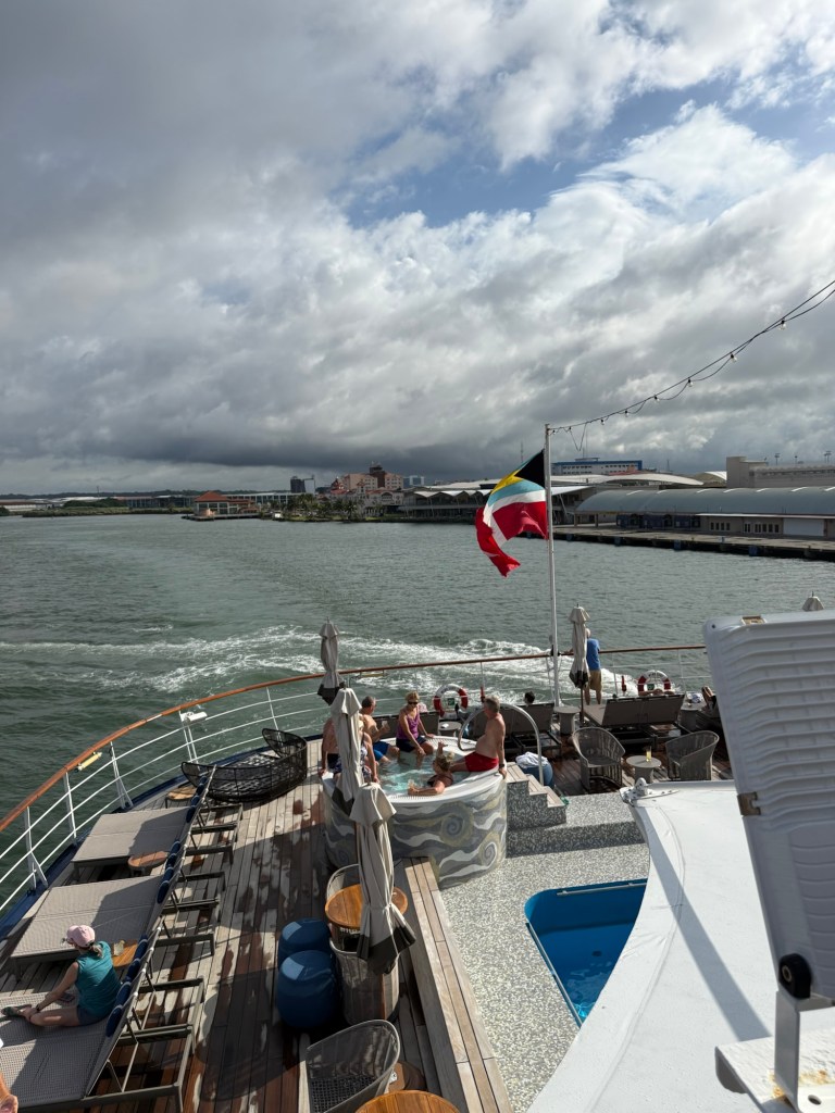
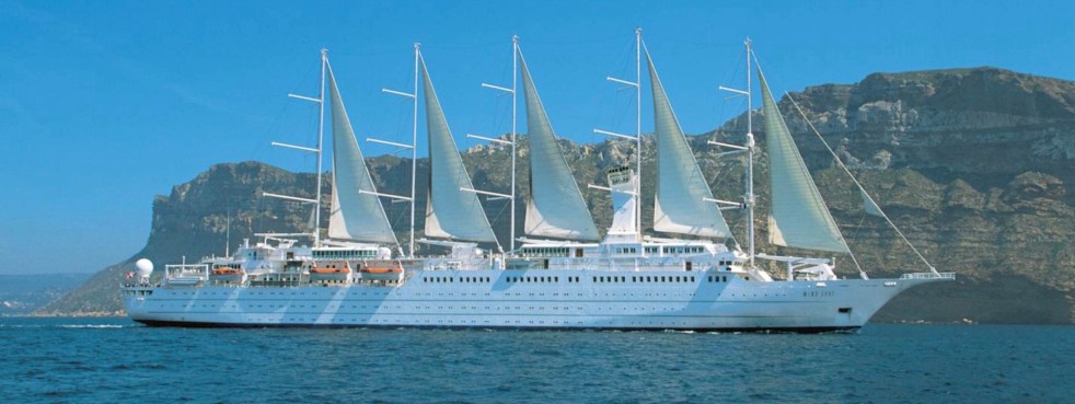
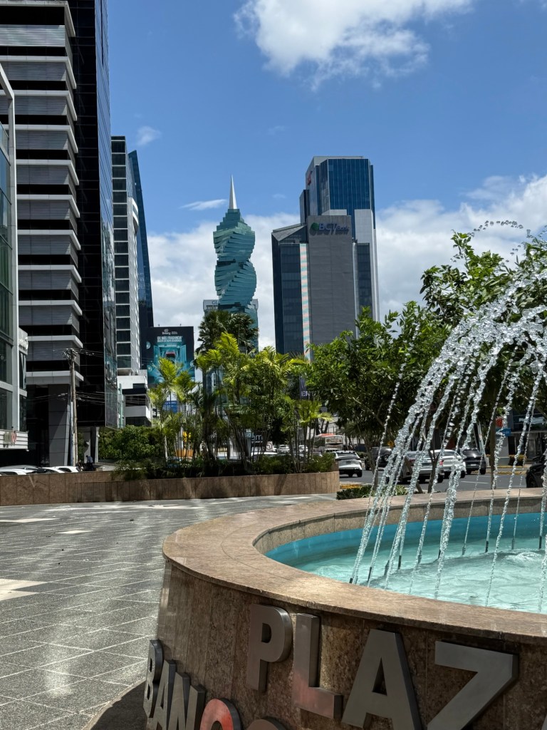
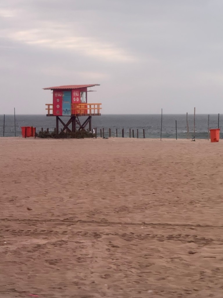
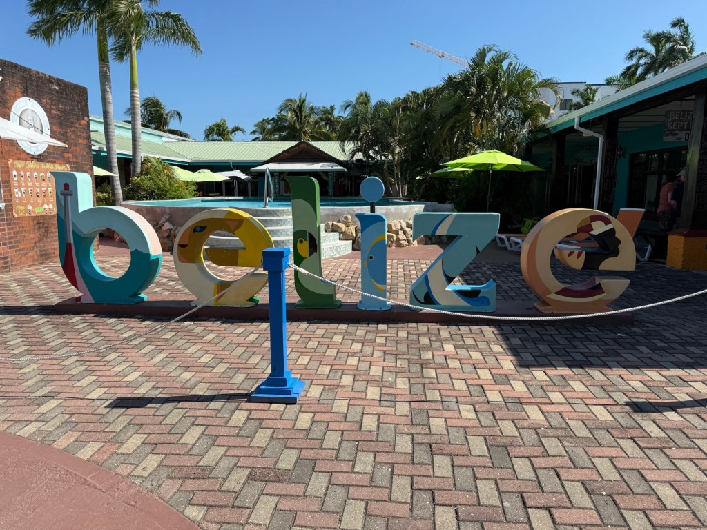
Today I arrived by sea and the beautiful Wind Surf anchored far out in the bay off the city of Belize City. The bay is very shallow and thus the need to anchor so far out. It was pretty rough this morning and we were transported from the ship into the cruise port by a tender from the port of Belize. Not sure why that was, but I have to tell you I was very glad that we were on a larger vessel than the ship’s tenders for this distance and in the wind and rough seas. Getting out of the tender at the pier the rather large fellows assisting us practically lifted me off the tender on to the pier in between swells. Adventure in travel!
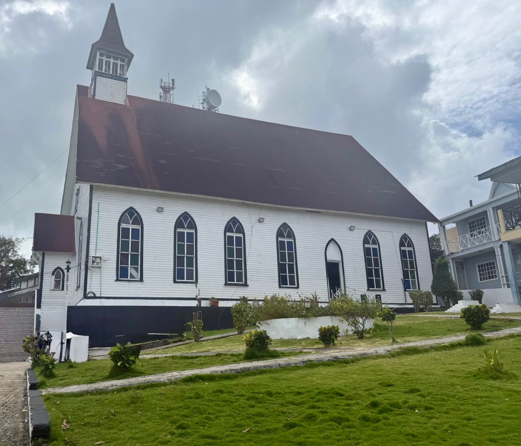
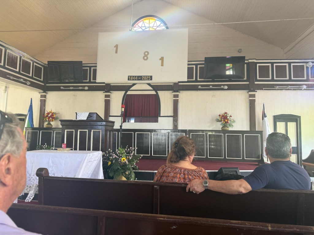
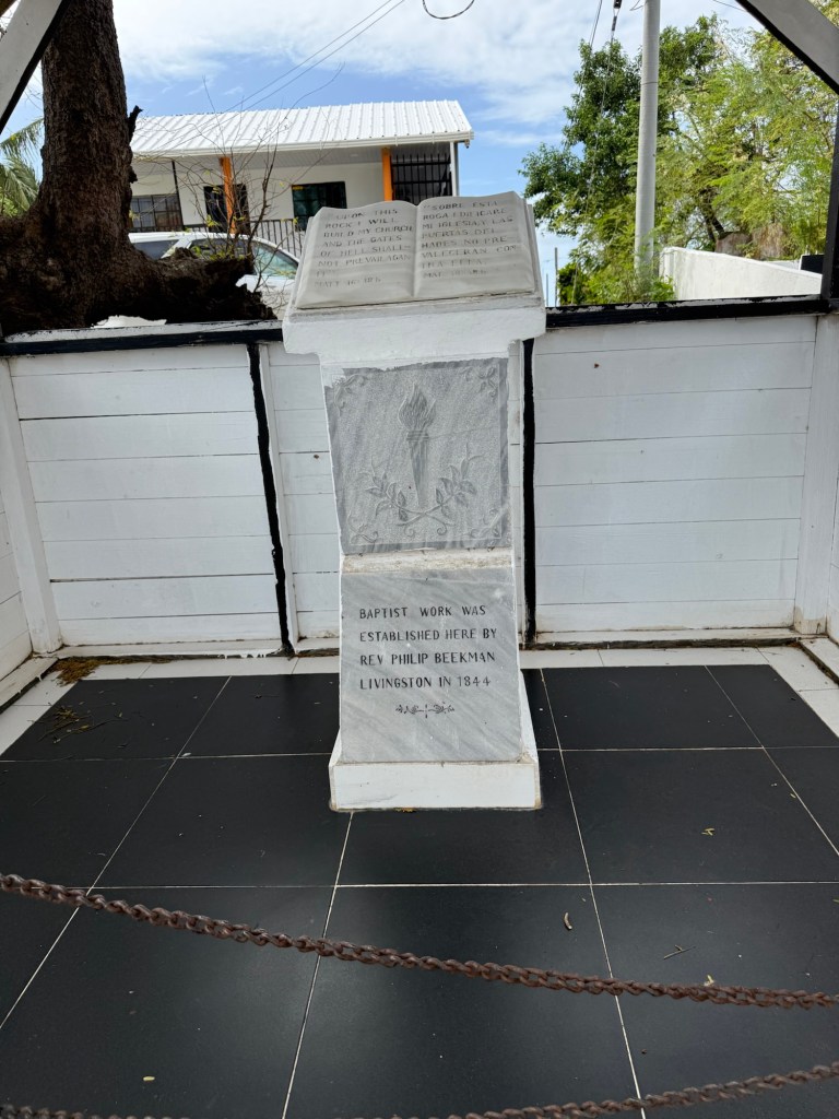
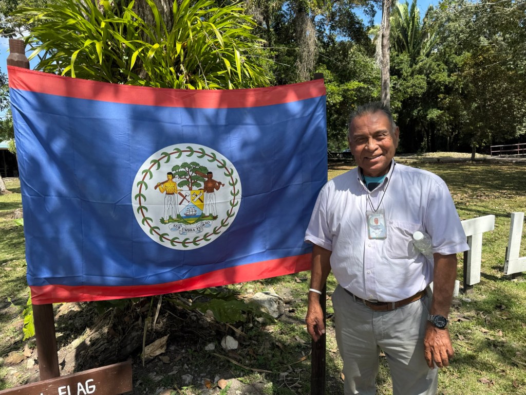
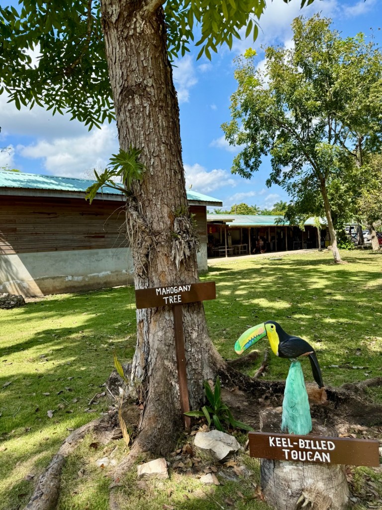
Backing up a bit, Belize was a British colony established in 1862 and was originally called British Honduras. The British came to the area to cut down the strong mahogany trees which are now the national tree of Belize. In 1973 British Honduras changed its name to Belize and gained its independence from Great Britain in 1981. It is the only country in Central America where the official language is English although Spanish is widely spoken. There are just under 400,000 people living here, mainly of either Mayan/Spanish descent called Mestizos or Creoles descended from British settlers and African slaves.
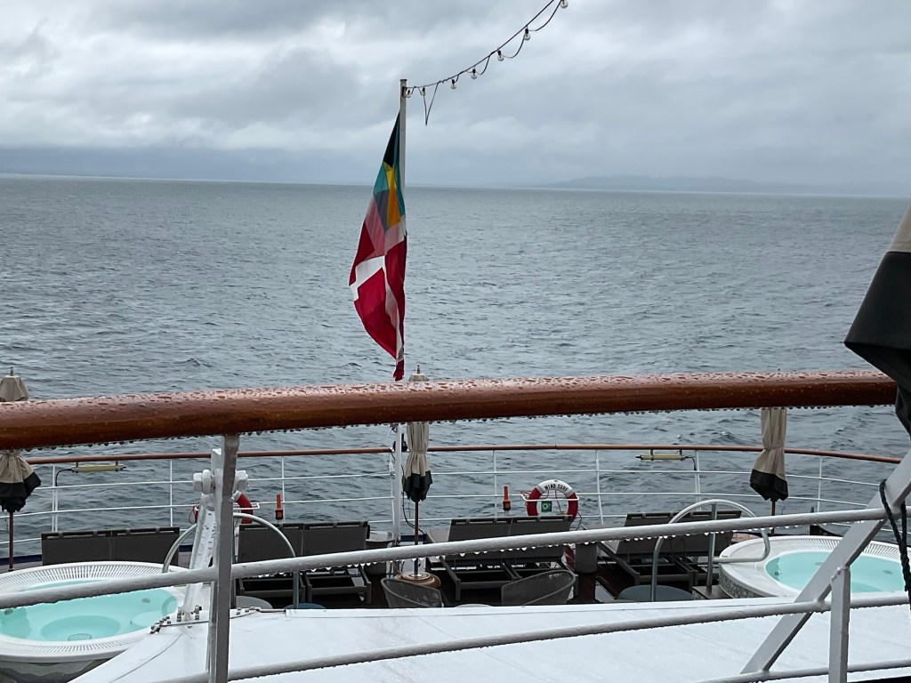
They are both depicted on the Belize flag, which is recognized as one of the few national flags in the world with human beings and is the only one with them as a major design element. There are a couple of others that have humans as smaller elements, but humans are prominent on the Belize one. The coat of arms on the flag depicts Mestizos and Creoles people holding an axe and a paddle representing the timber industry and the coast. Blue is the predominant colour on the flag and it has red borders running across the top and bottom. Our guide told us that the ruling government at the time of the flag dedication was represented by blue and the opposition by red. Not sure if that’s true, but I didn’t check it in ChatGpt since it seems like a fun political story.
Tourism is still the number one industry in Belize, however it was hit hard by the pandemic and hasn’t yet reached pre-COVID levels again yet. Sugar, citrus fruits and bananas are exported, as is crude oil. Our guide pointed out the Coke bottling plant in our travels today, and told us that the Coke in Belize tastes different than elsewhere because they use real sugar in the regular coke here. And they still use glass bottles that are not recycled after use but rather are cleaned and reused. He went on at some length to describe how clean the bottles were.
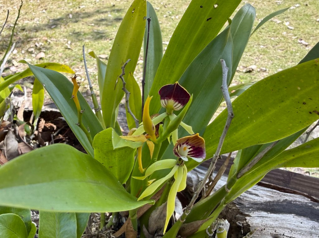
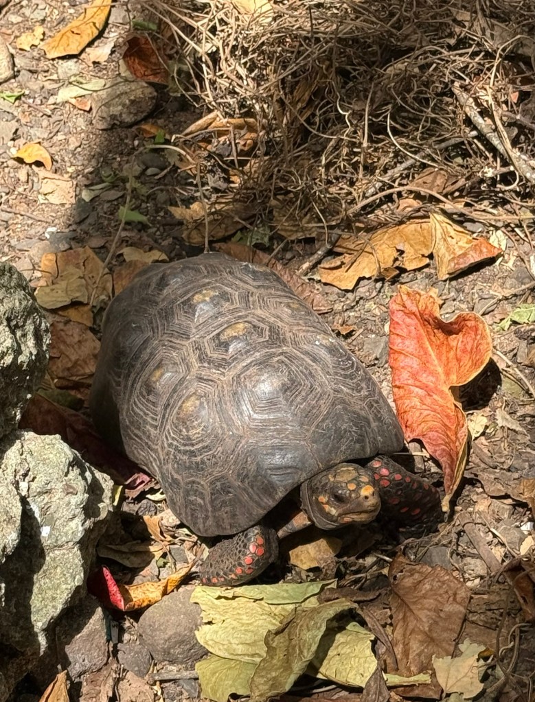
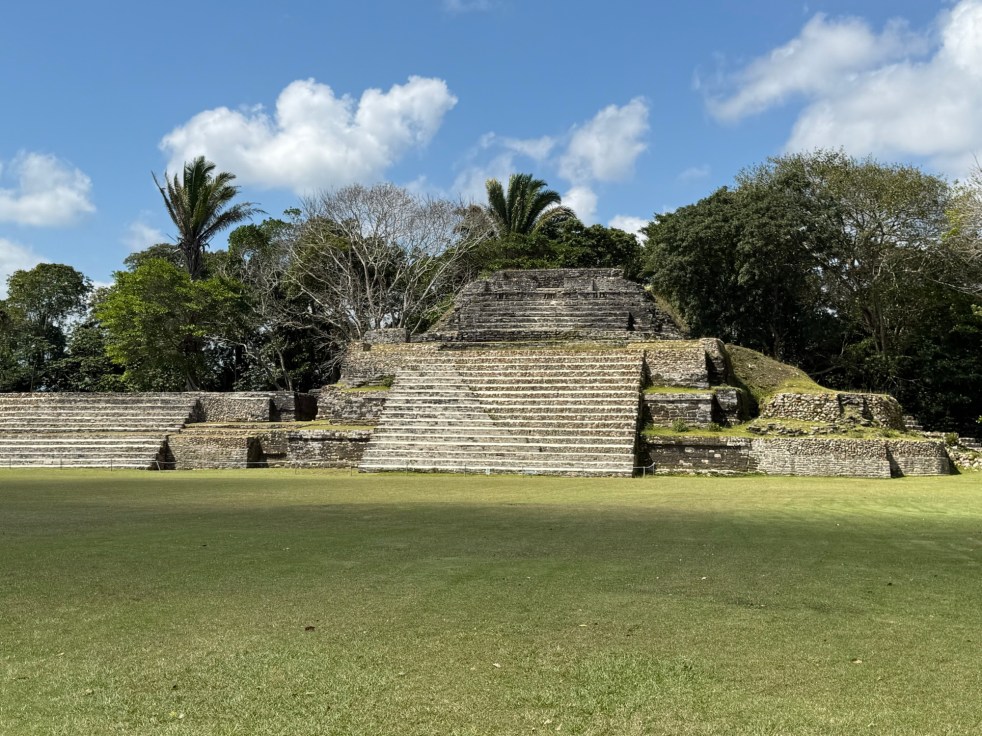
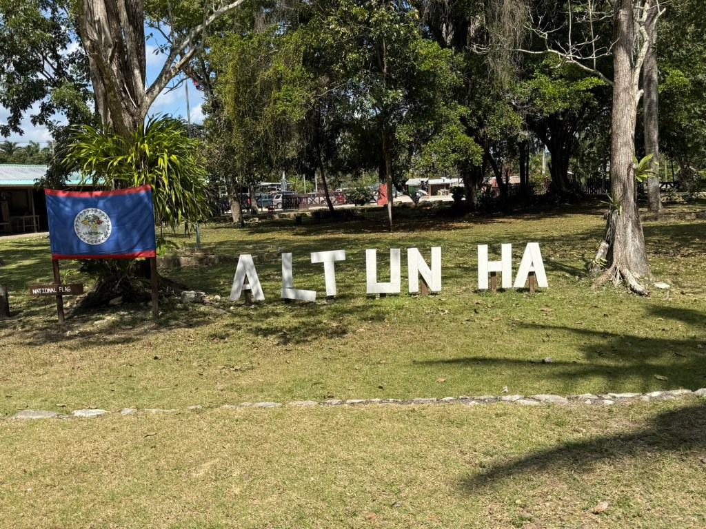
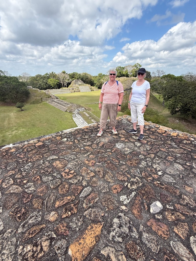
Belize is home to 900 Mayan sites and the tallest man-made building in the country is actually a Mayan Temple at the ancient Maya city of Caracol. It is 141 feet high. The Mayan sites are in various stages of being excavated. Some sites have been fully uncovered, some haven’t been excavated and many have been partially excavated.

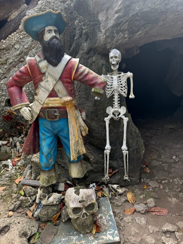
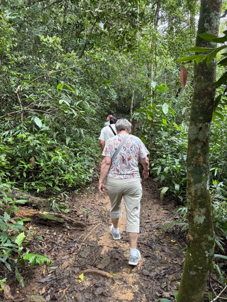
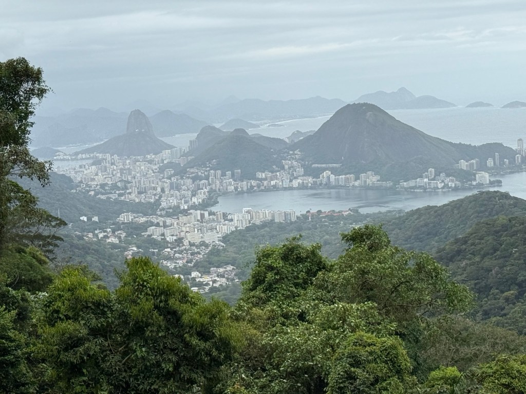
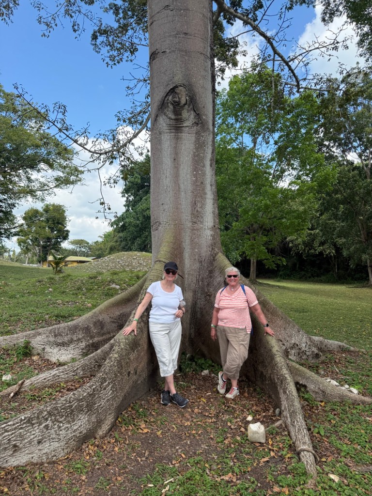
And our excursion today was to visit one of these Mayan sites. Originally we were to travel to a larger site further inland and a 2 hour + ride away, but after discussing it with our guide for the day, we decided to go to a site which was only an hour or so away. Altun Ha is the most visited site in Belize, partly because of its proximity to Belize City and while it isn’t the most archaeologically significant ruin in the country, it was still an interesting adventure. And the best part, because there was only one other ship in port today and we got a jump start on its passengers, it was almost completely empty. We were able to ramble around the site, and take our time climbing the over 11 flights of stairs to get to the top of two of the temples. For little people, they sure made the steps high! (Just like the Incas at Machu Picchu. )

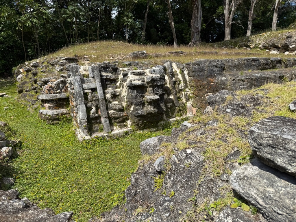
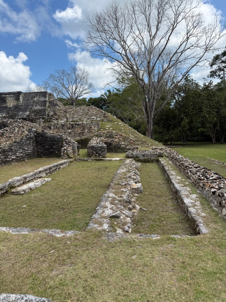
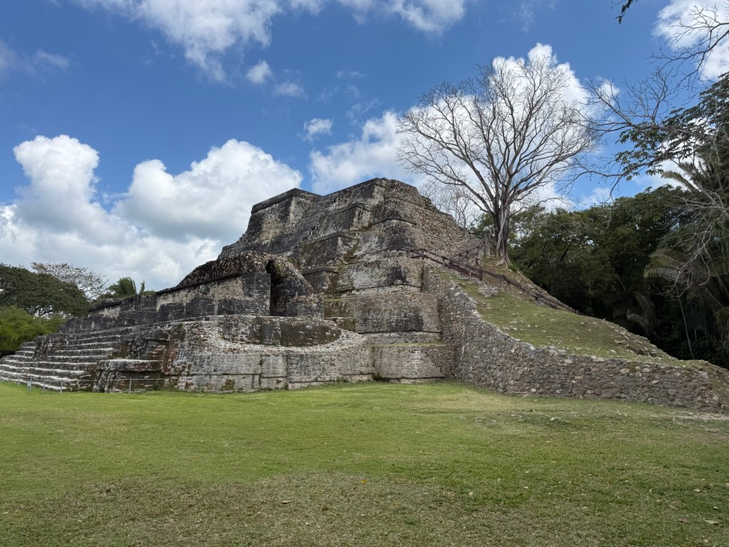
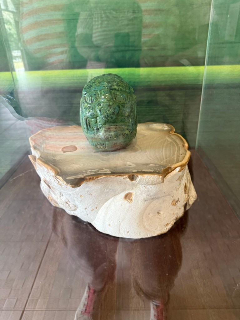
This site includes a temple to the Sun, one of the most important elements to the Mayans, so it’s important from that aspect. And they know it’s important because of a finding in 1968 at the top of one of the structures of a beautiful carved jade head. (two Belizeans found it while working on a dig for Dr David Pendergast of the Royal Ontario Museum of Canada, BTW.) It is likely that it was put there sometime between 600 and 650 AD and it was found with the remains of a human body, likely a spiritual leader. The jade head is approximately 6 inches high and weights 9.75 pounds, and is the largest single-piece carved jade object discovered in the Maya area. It is kept for safe keeping at the central bank vault in Belize City but there was a replica in the museum at the site. It is estimated to be worth between 5 and 10 million US dollars, but of course is really priceless. It is prominently displayed on the Belizean currency.
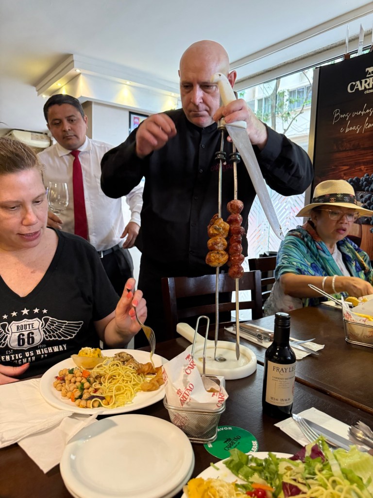
I could write several pages on just the information our guide imparted to us on our trip today, but I’m not going to do that as it’s late, and the clocks move ahead tonight, and we have to be up early tomorrow for another day of adventure.
I’ll try and provide some more Mayan info tomorrow as guess what, we signed up for another Mayan site visit in Costa Maya, Mexico tomorrow!