Colon, Panama
March 15
After traversing the Panama Canal yesterday, we spent the night moored at the industrial terminal in Colon. There was no rocking, how was I supposed to sleep? Not sure why we were in the industrial terminal rather than the cruise ship terminal but we even had to take a shuttle through the terminal to get to our bus for our excursion today.
This morning we said goodbye to many of the friends we’ve made in the past week as it’s time for those on the 7 day portion of the cruise to head for home, and a new batch of passengers to embark in Colon. I am on board for another 11 days as we head north west to our disembarkation in Barbados. After that the ship will carry on a repositioning cruise with just a few passengers across the Atlantic to Lisbon to do the spring European cruises.
Colon is a major port on the Caribbean side of Panama near the Atlantic entrance to the Panama Canal and capital of the province of the same name. There is a large duty free trade zone for tax-free shopping but not a whole lot of other interest if I’m being honest. We travelled through some of the city by bus on our excursion and we saw a dichotomy of neighbourhoods as I guess we would with most cities. One area of huge, lovely houses in a gated community on our way out from the ship and another of decrepit three story walk-ups on our way back to the port. Our guide also showed us some areas of homes where workers on the canal lived where some have been significantly modified and other tiny ones that are the original design.
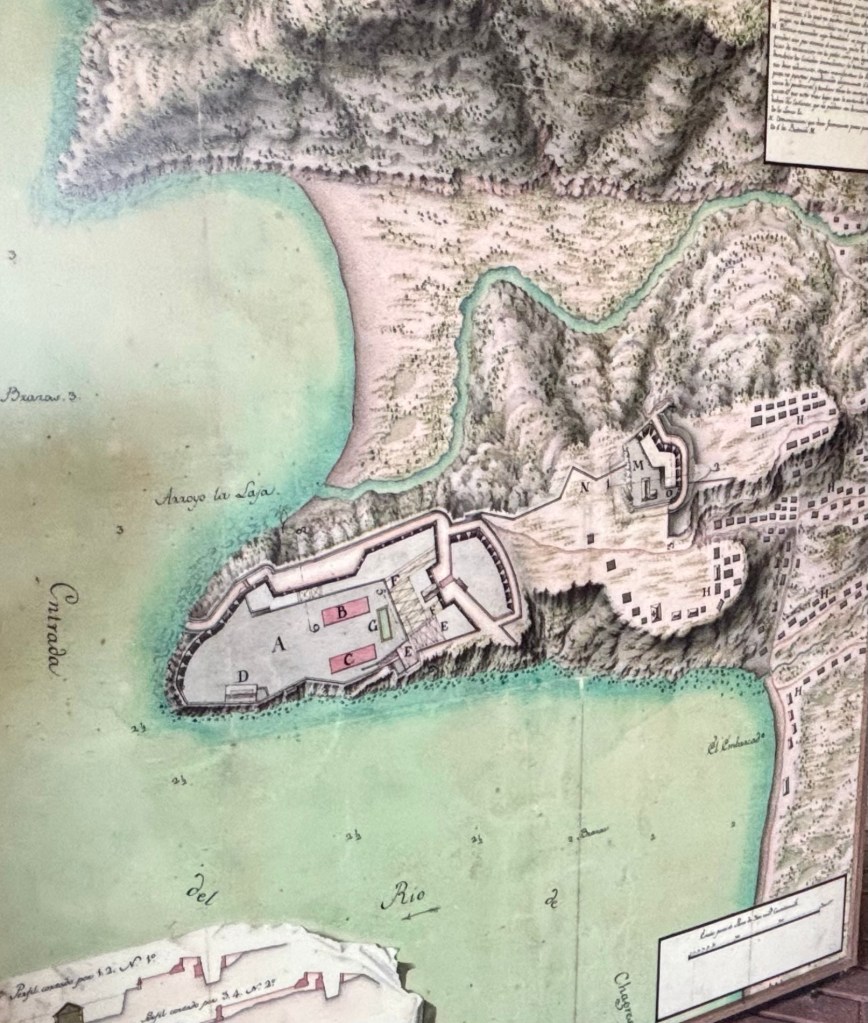
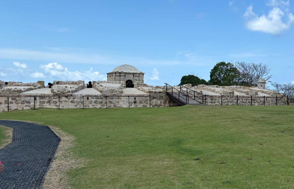
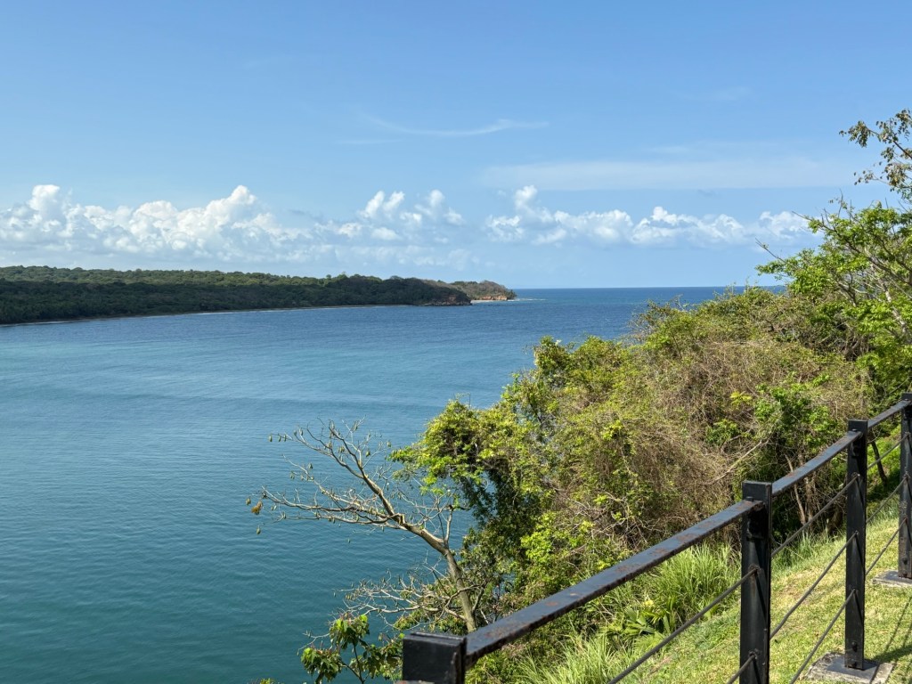
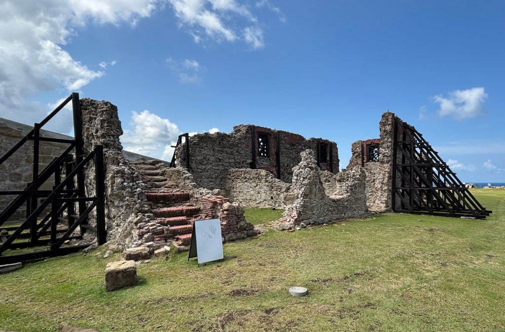
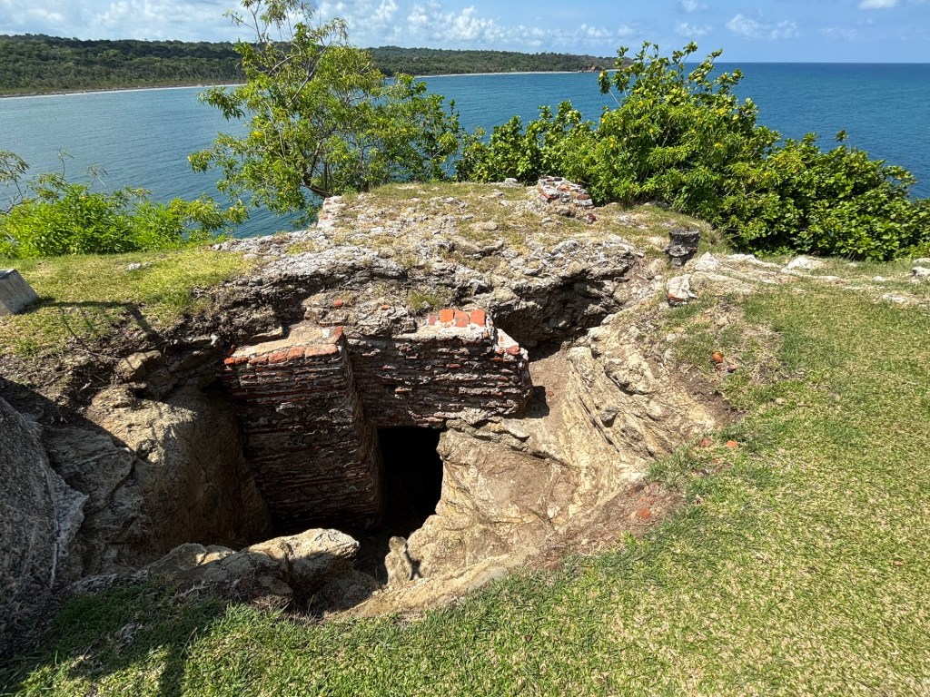
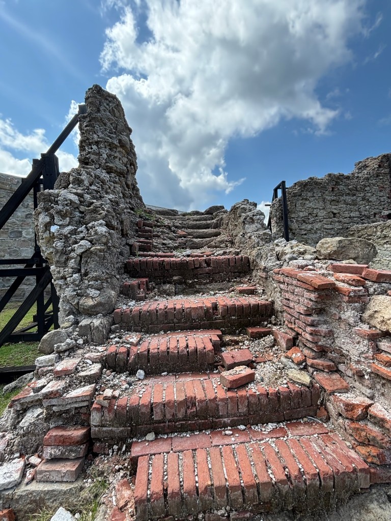
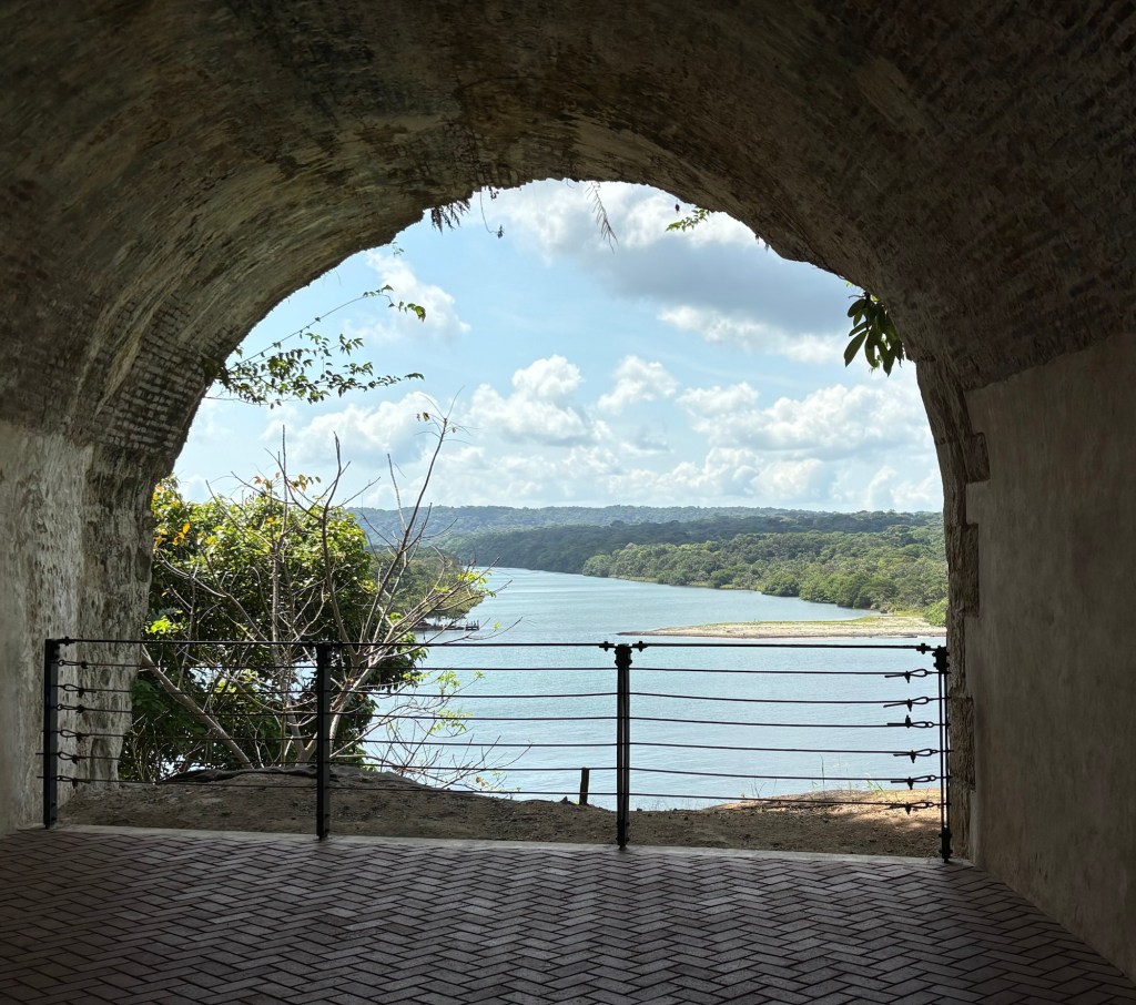
Our excursion today was to a UNESCO World Heritage Site just west of the city, Fort San Lorenzo, a well preserved ruins of the site of 3 different forts. The Fort is located at the mouth of the Chagres River, the entrance to the pre-canal overland route from the Atlantic to the Pacific. The Chagres River forms part of the canal in some sections and we overlooked it on our day to Gambo a couple of days ago.
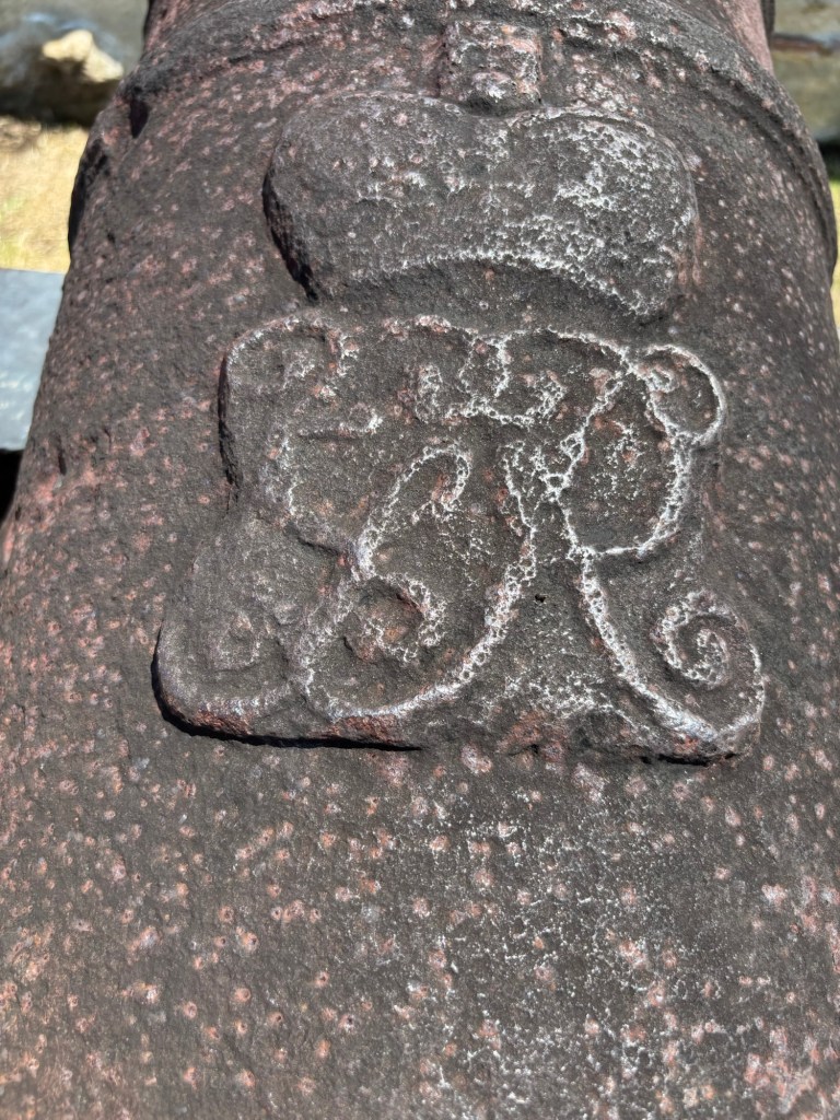
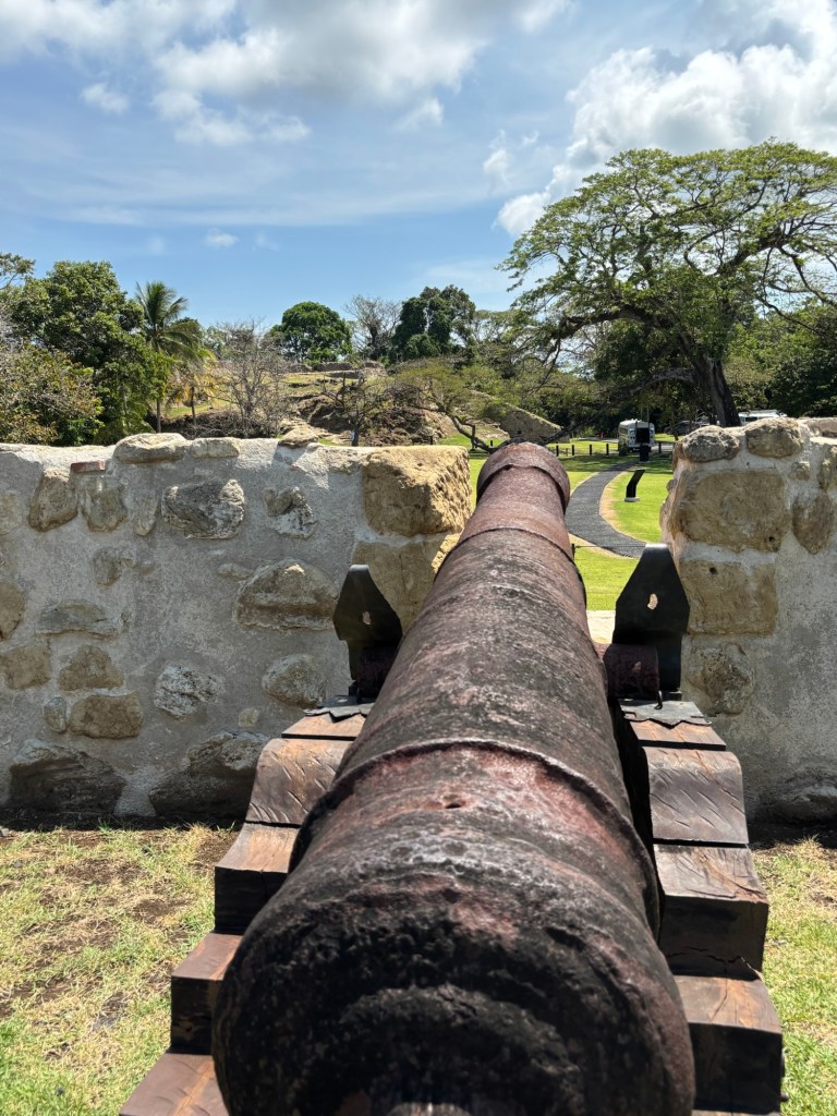
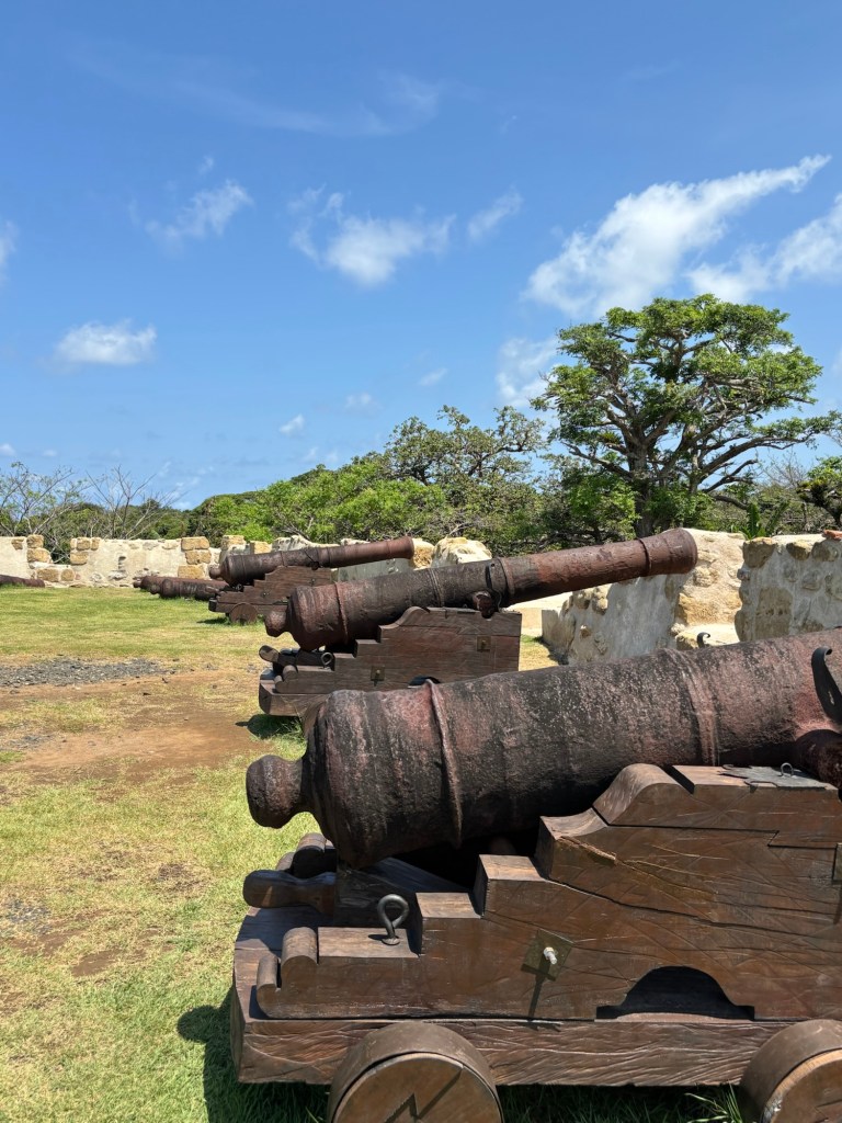
In the 1500s, Spain was on their conquest of Peru and pillaging gold from the Incas and shipping it off to Spain using the Chagres River as part of their transportation route. Pirates soon got wind of the spoils and began attacking the coast and so the Spanish built Fort San Lorenzo at the mouth of the Chagres to protect their loot. It grew in scope from 1587 – 1601. All was well with the fort and their supply route until buccaneer Henry Morgan had his guys attack in 1670. The Fort had been built to repel attack from the river and the Atlantic, but Henry Morgan’s troops come across land and they didn’t have the fortification or guns aimed in that direction.
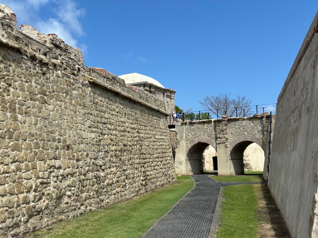
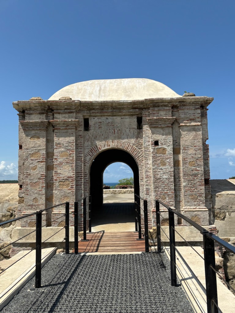
In the 1680s the Spanish constructed a new fort, 80 feet up the bluff and with additional protection on the land side of the fort, primarily in the form of a dry moat/drawbridge. Then in 1739/40, the British attacked the fort and the Spanish again refortified this fort and one upstream at Gatun.
By the middle of the 1800s, the Spanish had abandoned the area and instead were travelling around Cape Horn instead of taking the overland route through Panama.
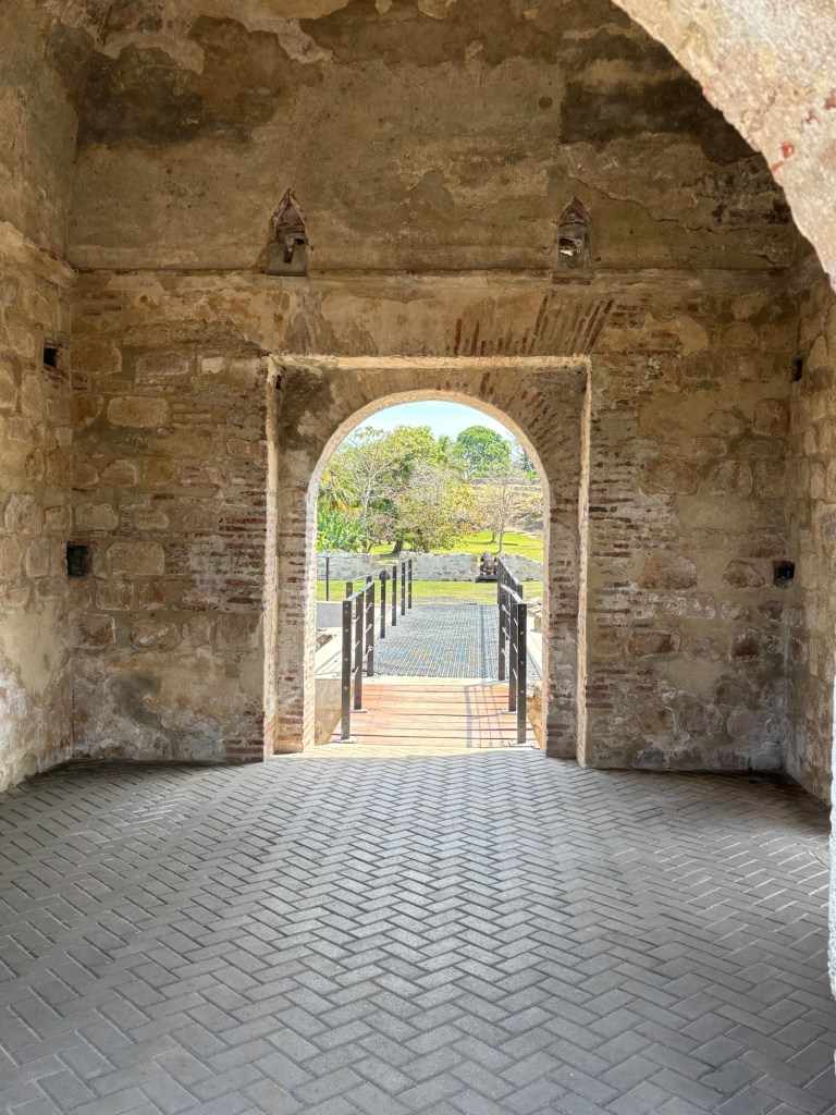
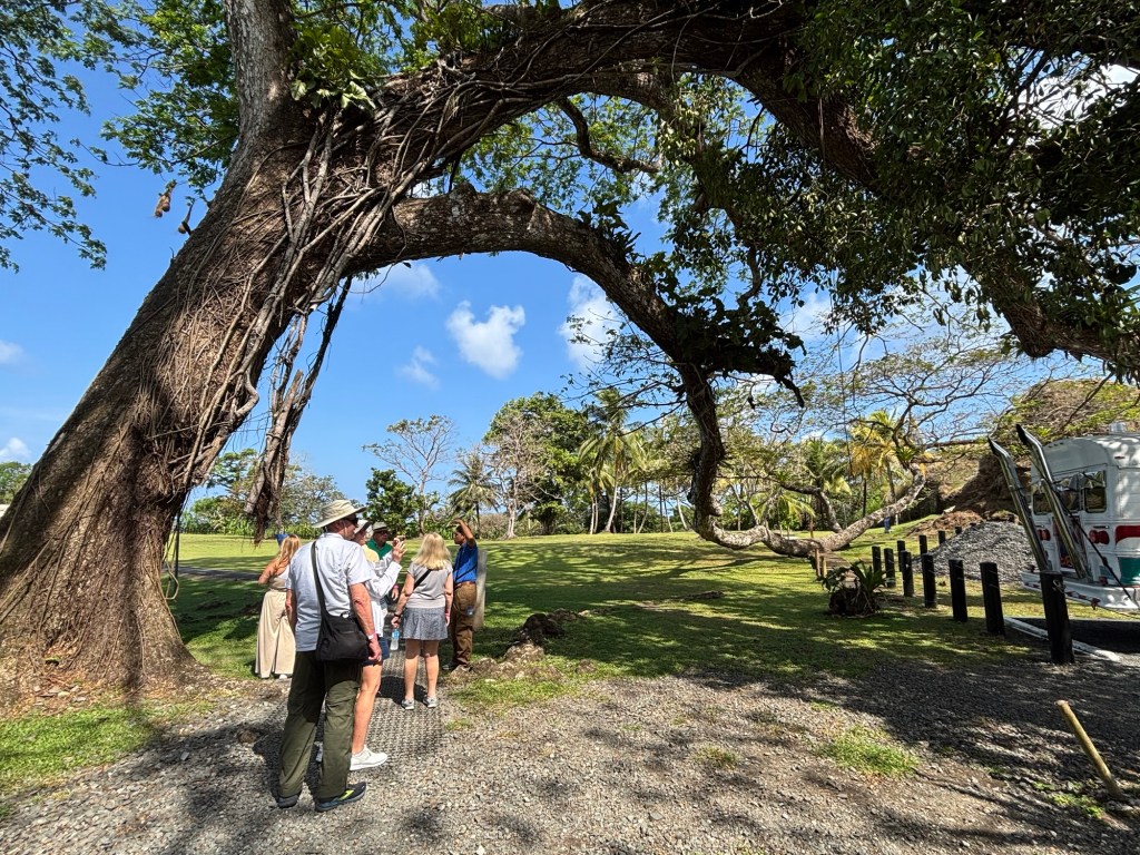
The Fort site has been preserved in the last few years and they are building a huge visitor’s centre that will be open in a few months which will add to the experience. Our guide did a great job of bringing the fort alive in our imaginations and there are pictures and explanations of the various components of the fort throughout.
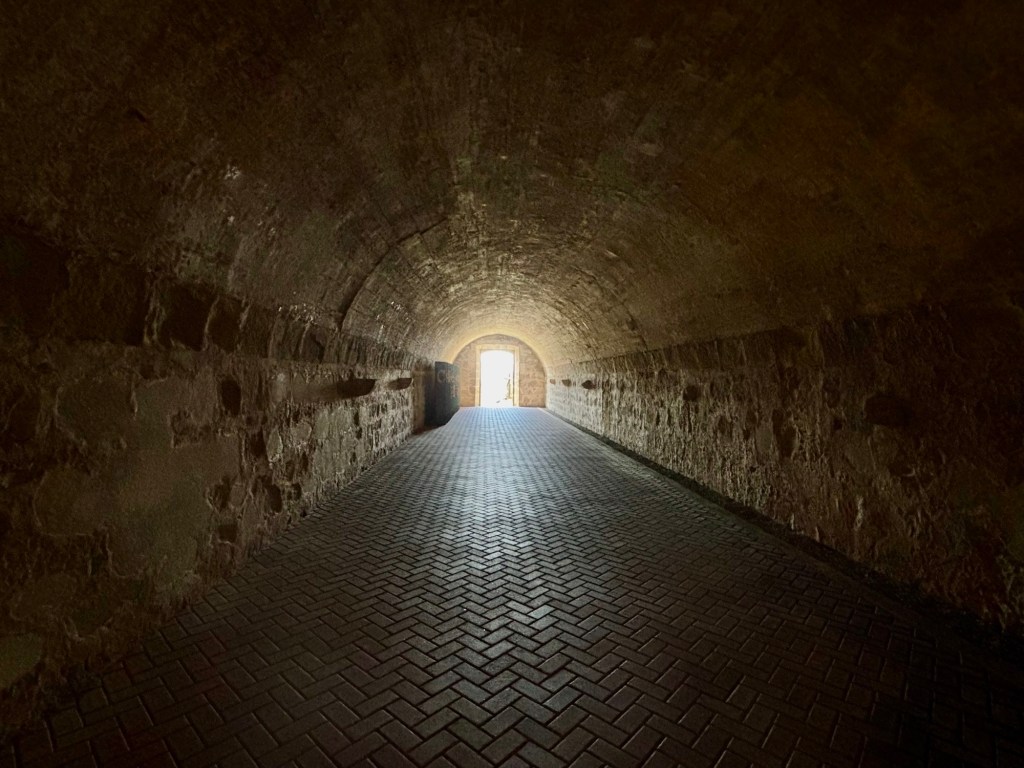
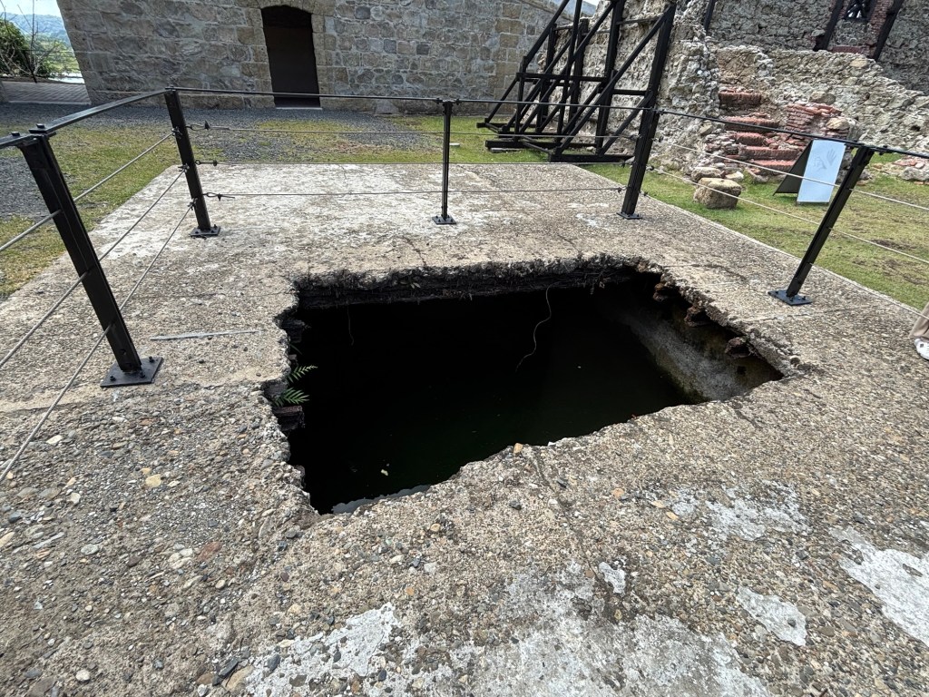
One of the many storage vaults.
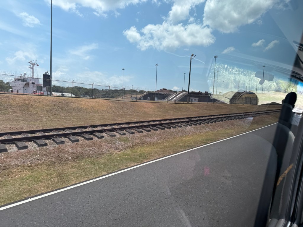
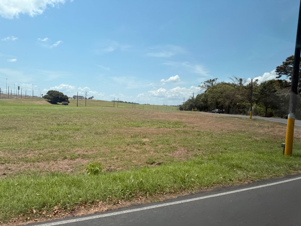
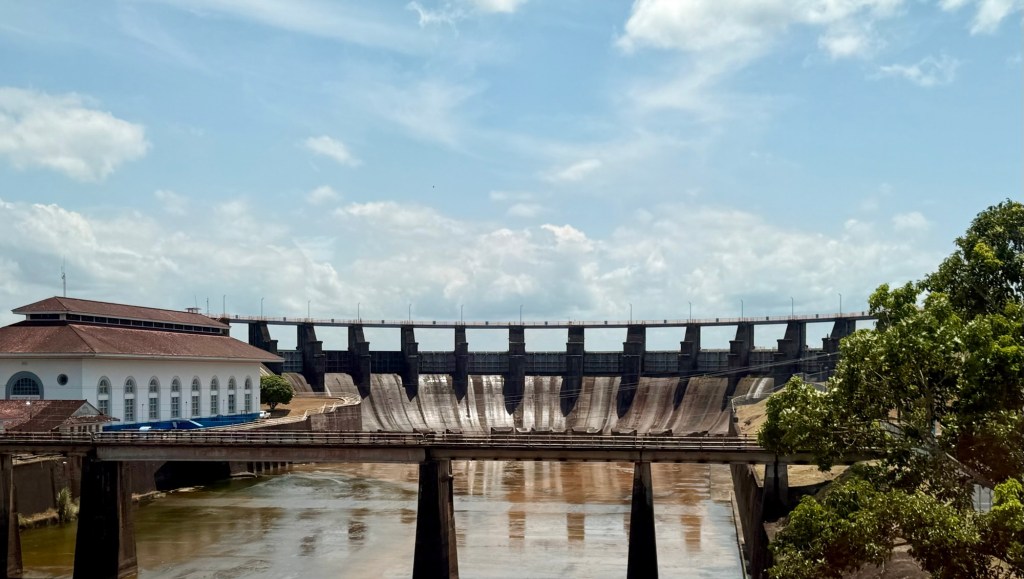
When we left the fort, the driver said we had time before heading back to the ship to see some elements of the Panama Canal from the land side. We weren’t allowed to stop or get out of the bus, so the pictures aren’t great, but hopefully they’ll give you an idea of what it looked like. First up was a drive by one of the lanes of the canal and to see the top of one of the freighters going through the Gatun lock. It was a strange perspective. Then our guide pointed out a huge grassy area which was fill from the excavation of the canal that was used to build the earthen dam of Gatun Lake, a substantial part of the Canal. This dam was the largest earthen dam in the world from 1910-1935 when it was surpassed by the Hoover Dam. And finally our driver took us over a small bridge to get a downstream view of the dam itself.
Then it was back to the ship to join all the embarking passengers for this leg of our journey and deja vu of last week when we went through the process of checking-in in Puerto Caldero. This time the smiling face of the ship’s doctor was not a stranger as we joined him for dinner in the beautiful Amphora dining room one evening last week.
Note: It’s actually Sunday, March 16 when I’m writing this and I just realized that I completely skipped over writing about crossing through the Panama Canal two days ago. We went through the canal in the opposite direction last year and have lots of info on it so if I’m feeling more energetic later I’ll do a quick run through. Otherwise, it’s a sea day so not much more to report today.
