Saturday, July 6 – Isle of Man
Today was forecast to be raining and only about 12 degrees for our planned excursion to the Isle of Man which included a lengthy walk along some country roads, and the coastal pathway. So we were a little apprehensive about whether 3 layers of clothing was going to be enough. It turned out to be a lovely day, although fresh and windy, but with no rain and mostly sunshine. We took our various layers off and put them back on probably 5 times.
Some day I’m going to take a vacation that doesn’t require another vacation upon my return. Today we walked 7.84 km or 12,490 steps. But it was a very lovely 7.84 km full on interesting facts and stories about fairies and Vikings thanks to our outstanding guides, Jack and Tim.
The Isle of Man is located in the Irish Sea, equidistant from England and Ireland and its strategic location made it important in world trade routes and it helped the allies in the Second World War. It is approximately 33 miles long and 12 – 13 miles across. Its GDP is 6.5 million pounds.
We started our tour of the self governing dependancy of England this morning in the capital and largest town on the Isle of Man, Douglas where the ship was docked for the day. The Isle of Man is owned by King Charles, and he allows the residents of the island nation to live there free from taxes, although the citizens do pay taxes to the government of the island and the island in turn pays England for protection given they have no military.
There are two things the island is know for: the annual Tourist Trophy (TT) motorcycle race and as the place from where Manx cats originated. One of the excursions was a motor tricycle ride around the actual route the race takes, but stupidly we missed out booking it before it was sold out. They, of course, do the track at normal speeds whereas the speeds of the TT racers average 136 mph, and that’s with slowing down to on all the twists and turns of the roads. There is also a shorter race called the Manx Grand Prix for which they are starting to set up the viewing stands and bumpers along the course.
Manx cats are very obviously different from other cats in that they have no tail, or if they have one, it’s just a stub of a tail. They believe this was caused by a really strong mutant dominant gene that has been able to withstand generations of births.
Economically, the island is interesting, and despite the fact that we all visited them today, their tourism industry only makes up 1% of their economy. The island has very favourable tax laws for offshore wealthy investors and it has become an offshore financial centre contributing to 11% of their GDP. On line betting is huge here making up 16% of the economy and 11% is from insurance. The island has a history as a tax haven as there is no corporate tax, no inheritance tax and no capital gains tax. (Think I could move my cottage to the Isle of Man from Ontario?) They have a 22% personal tax rate compared to the rate of 20% in the UK.
As with many parts of the world in this area, the Vikings broadened their empire on to this island with their pillaging and waring, and there are Viking ruins on the island that have been carbon dated to 800- 1000. But I’m getting ahead of myself.
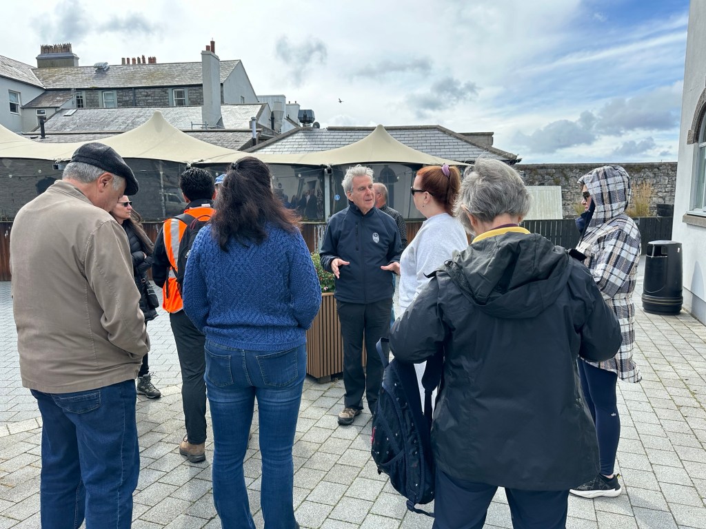
A group of 12 of us left the town of Douglas on a small coach, headed for the town of Castletown where our historical walking tour would begin. We were in the able hands of guides Jack and Tim, who were full of tidbits of information, and a large dose of legend and myths. Just after we left Douglas Jack told us he needed our help because there is a belief that there are Fairies living under a bridge we were about to cross and if we didn’t acknowledge the Fairies we may feel their wrath with back luck. So everyone on the bus cooperated with a loud “good morning, Fairies” and we had only good luck the rest of the day.

We arrived in Castletown in no time and had a bathroom break before heading out. As the name would imply, we there is a castle in the town which we didn’t have time to see which has been in use for various purposed for over 6500 years.
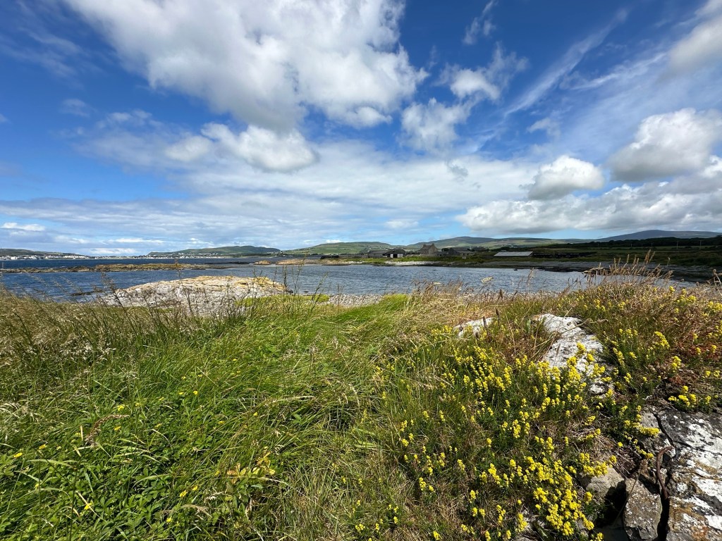
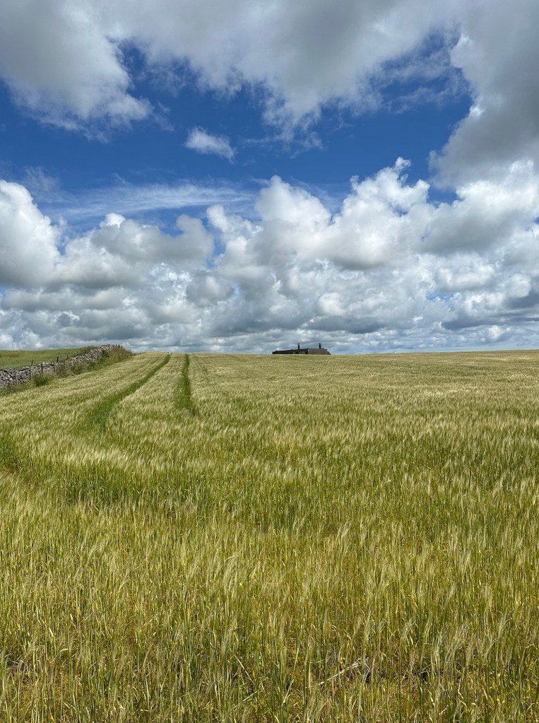
We were driven to the start of a country road, just off a highway, where we started our hike. It was a beautiful bucolic walk, with a history lesson thrown in.

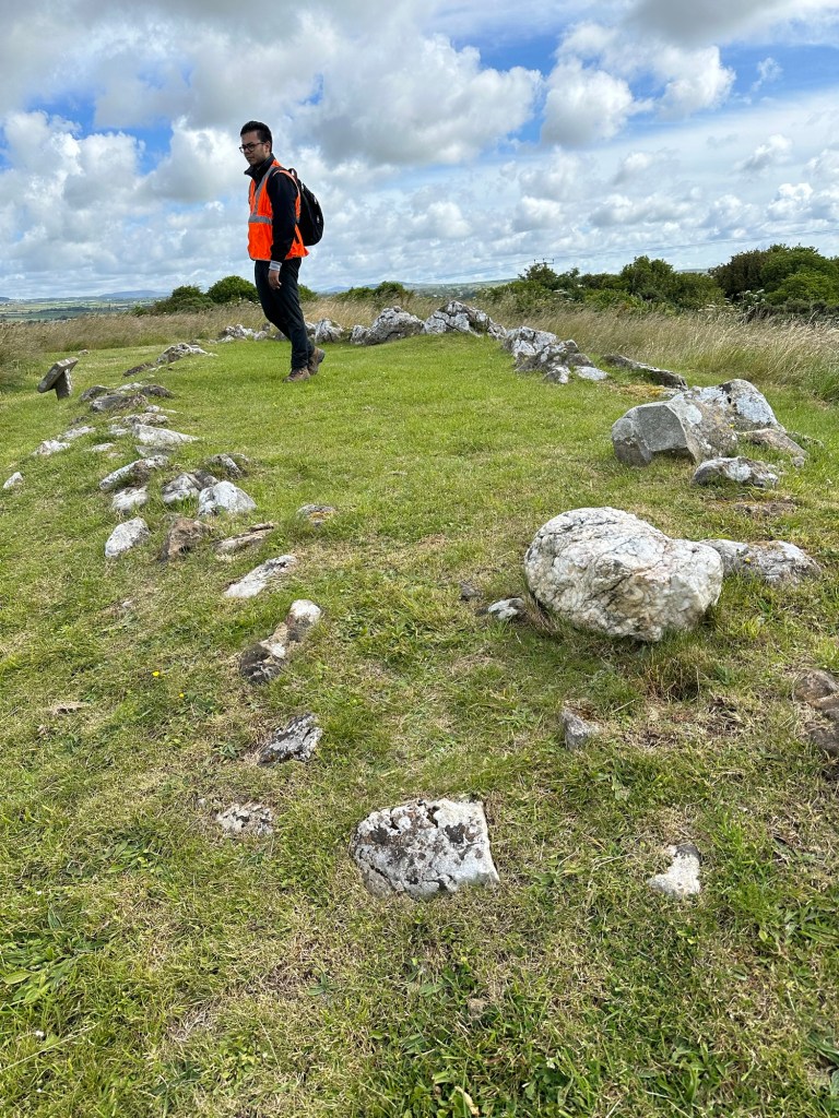
In the Balladoole Historic Monument Site, we saw the remains of an early Christian chapel called a Keeill, from the 10th – 11th century. The missionaries of the time had a belief that instead of building big churches for the people to come to, that they should take the religion to the people. And these small Keeills were built all over the countryside.
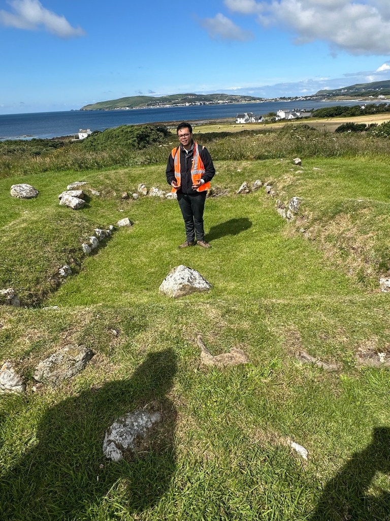
Further along were graves dating back the 9th century where a Viking ship had been uncovered along with the bones of a warrior and his wife and animals. It was the custom of wives to be buried with their husbands, whether they were alive or dead at the time! It was believed that this would have been an important person because the ship and the bodies would have had to be hauled up the hill to the top of this hill to be buried.
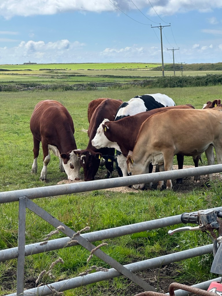
On route to the Coastal walkway we trooped through a farm yard and past a quarry. The limestone from this quarry is out of sink with the rest of the area as it’s black from the volcanic rock all around. Rock from this quarry was used on the steps of St. Paul’s Cathedral in London.
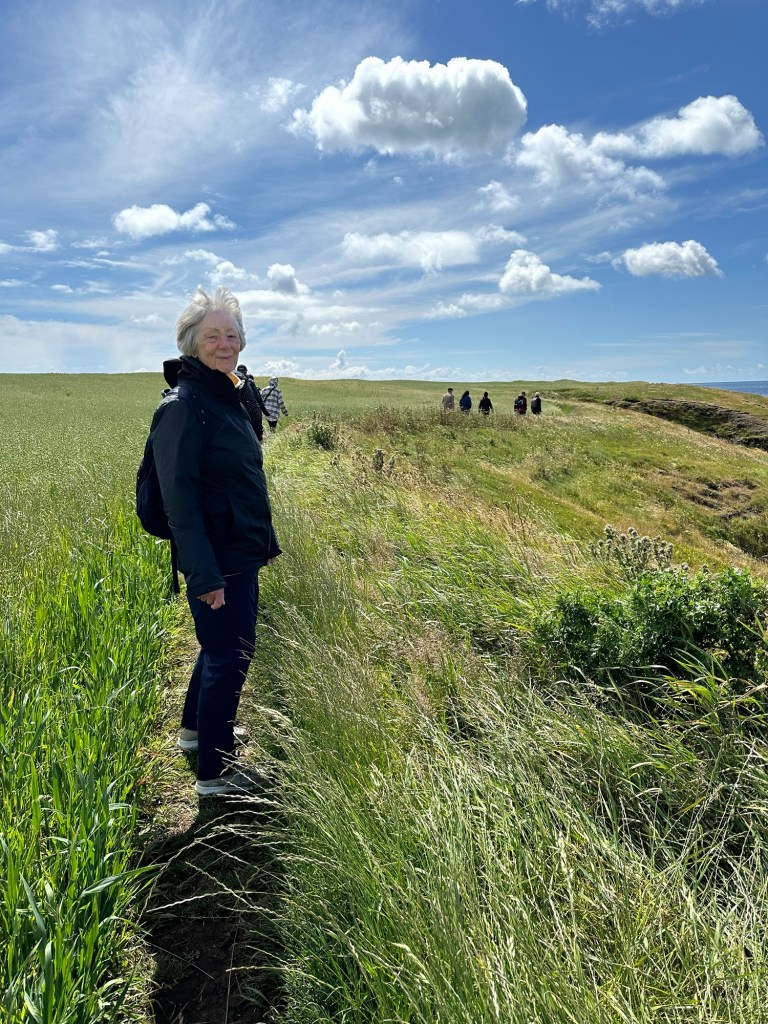
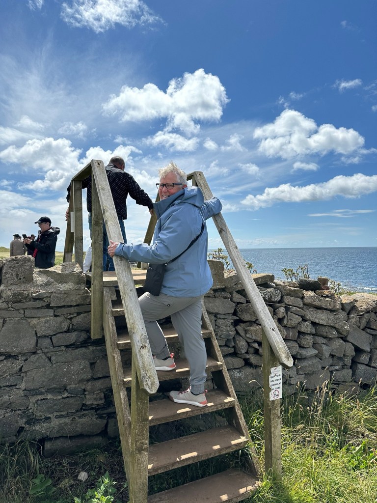
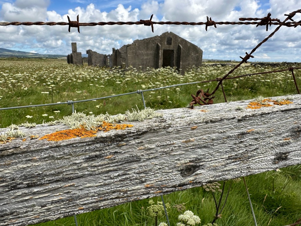
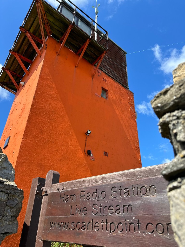
We continued along a road down to the Irish Sea where we joined the coastal walk and followed it all the way back to the town of Castletown. We came upon some ruins of stone buildings in a group across the farm land that were used as training locations for the RAF when radar was first introduced. They were used during WWII to spot planes on route to England as an early warning system. There was also a Ham Radio Station along the coast that the guides didn’t know much about, but was of course of interest to me.
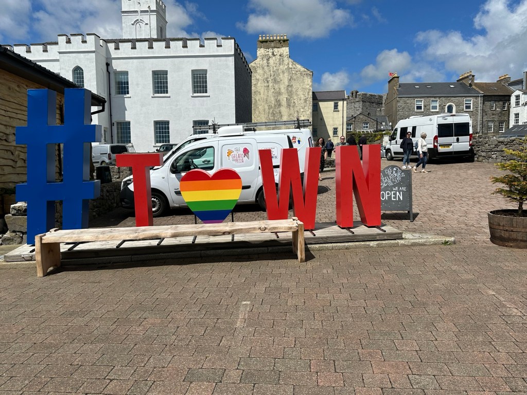
The coastal path ended back in Castletown where we visited the town square which was bustling with a huge big screen tv showing Wimbledon tennis. We stopped for some ice cream before heading back to the bus and then back to the ship. I managed to get some pictures of the Castle but didn’t get a chance to go inside.
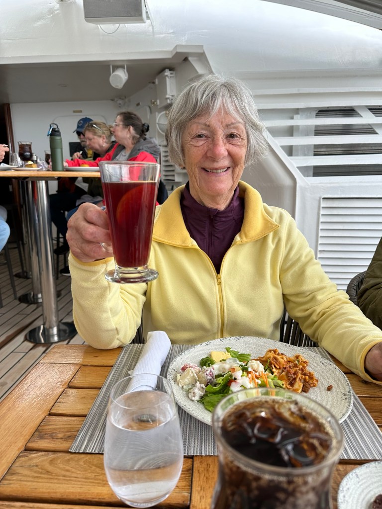
We barely got back in time for Char to enjoy some Scandinavian Glogg that they were offering as the special drink today. She said it was almost as good as what her family makes.
We enjoyed a presentation on how to use your iPhone camera to the best advantage and another by a History Professor on the history of the Isle of Man, and our next two stops. So great to get such good information. Then it was time for dinner at the Spanish tapas specialty restaurant with my favourite churro and chocolate dessert. We’re exhausted already but a nap this afternoon helped.
Fun facts:
⁃ The Beegees were born on Island of Man before moving to Australia.
⁃ They derive 6% of their electricity from burning rubbish (killing two birds with one stone).
⁃ There is a tram that runs from Douglas north and another one south that some of our fellow passengers went on today.
⁃ They use Manx pounds in the same denominations as the English pounds but it cannot be used as currency in any of the other countries of the UK. (Although British pounds can be used in Manx)
⁃ It is unsure where the name of the Isle of Man comes from but could have been from the legendary Manannan Mac Lir who protected the island against invaders by providing mist/fog to keep it from view.
⁃ The symbol of the Isle of Man is that of three legs joined in the middle. The motto of the Manx people is that no matter what is thrown at them, they’ll always land on their feet.

What a lovely walk you had! Fun to follow along. I would have spent most of the time visiting the cows I think. Anyway, when you return, look to see if Canadian public television is airing the show “MaryLand” which is set on the Isle of Man. I enjoyed the story and the scenery. Here’s the US Masterpiece page on the show https://www.pbs.org/wgbh/masterpiece/shows/maryland/
LikeLike